

Story of Umm Tuba
Umm Tuba (Arabic: أم طوبا; Hebrew: אום טובא) is a Palestinian Arab neighborhood in East Jerusalem part of Sur Baher; it is northeast of Har Homa and Bethlehem, and southeast of Kibbutz Ramat Rachel.
One story for each place — cities, towns, villages and khirbas across the governorates of Palestine. · 513 stories
Umm Tuba (Arabic: أم طوبا; Hebrew: אום טובא) is a Palestinian Arab neighborhood in East Jerusalem part of Sur Baher; it is northeast of Har Homa and Bethlehem, and southeast of Kibbutz Ramat Rachel.
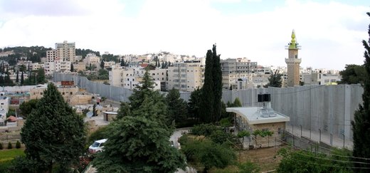
Abu Dis or Abu Deis (Arabic: أبو ديس) is a Palestinian village in the West Bank, in the Jerusalem Governorate of the State of Palestine, bordering Jerusalem.
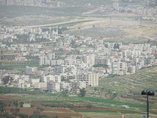
Al-Judeira (Arabic: الجديرة) is a Palestinian village in the Jerusalem Governorate of the State of Palestine, in the central West Bank.
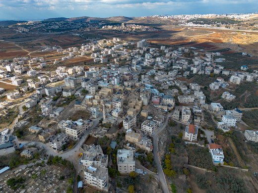
Al Jib or al-Jib (Arabic: الجيب) is a Palestinian village in the Jerusalem Governorate of the State of Palestine, located ten kilometers northwest of Jerusalem, partially in the seam zone of the West…

Al-Ram (Arabic: الرّام), also transcribed as Al-Ramm, El-Ram, Er-Ram, and A-Ram, is a Palestinian town which lies northeast of Jerusalem, just outside the city's municipal border.
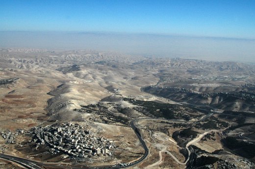
az-Za'ayyem (Arabic: الزعیّم) is a Palestinian village in the Jerusalem Governorate, located 3 kilometers east of Jerusalem in the central West Bank.
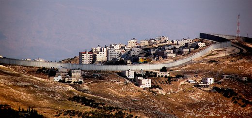
as-Sawahira ash Sharqiya (Arabic: السواحرة الشرقية) or Al-Sawahreh al-Sharqiyeh is a Palestinian town in the Jerusalem Governorate, located 6 kilometers south-east of East Jerusalem in the West Bank.

السواحرة الغربية بلدة فلسطينية من بلدات القدس، يبلغ عدد سكانها حوالي 31.000 نسمة وهي مكونة من سبعة أحياء، متلاصقة ومتصلة بعضها ببعض.
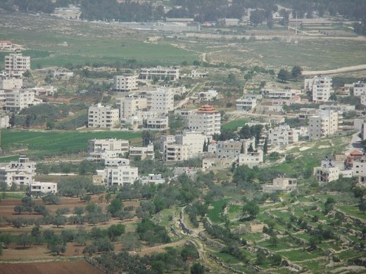
ash-Sheikh Sa'd (Arabic: خربة الشيخ سعد) is a Palestinian village in the Jerusalem Governorate, located 6 kilometers Southeast of Jerusalem in the central West Bank.

حي الصوانة (ويكتب أيضا السوانة؛ العبرية: אס-סוואנה) هو حي فلسطيني في القدس الشرقية يقوم على المنحدر الغربي من جبل الزيتون إلى الشمال الشرقي من البلدة القديمة، ويعد إداريا من أحياء بلدة الطور.

Bethany (Ancient Greek: Βηθανία, Syriac: ܒܝܬ ܥܢܝܐ Bēṯ ʿAnyā), locally called in Arabic al-Eizariya or el-Aizariya (Arabic: العيزرية, "[place] of Lazarus"), is a Palestinian town in the Jerusalem…

Al-Issawiya (Arabic: العيساوية, Hebrew: עיסאוויה, also spelled Isawiya or Isawiyah) is a Palestinian neighborhood in East Jerusalem. It is located on the eastern slopes of the Mount Scopus ridge.
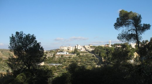
Al-Qubeiba (Arabic: القبيبة) is a Palestinian town in the Jerusalem Governorate of Palestine, located 2 kilometers northwest of Jerusalem in the central West Bank.
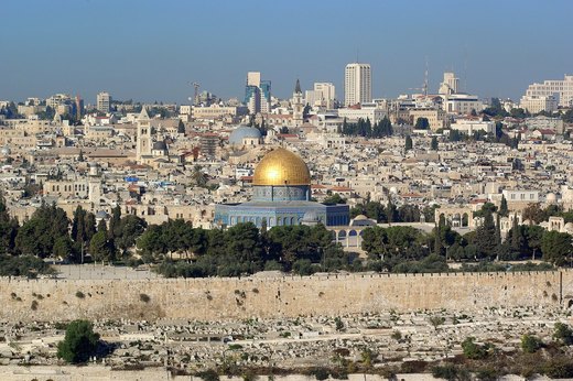
Inside the walls lies an old division into four quarters; above it, one of the oldest inhabited cities on earth.
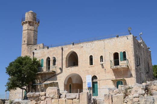
An-Nabi Samwil, also called al-Nabi Samuil (Arabic: النبي صموئيل an-Nabi Samu'il, translit: "the prophet Samuel"), is a Palestinian village in the Quds Governorate of the State of Palestine, located…
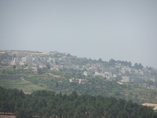
Biddu (Arabic: بدّو) is a Palestinian town in the Jerusalem Governorate, located 6 kilometers northwest of Jerusalem in the West Bank.
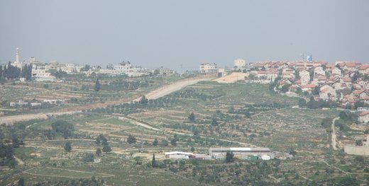
Beit Ijza (Arabic: بيت إجزا, also spelled Bayt Ijza); is a village in the Jerusalem Governorate in the central West Bank with an area of 2,526 dunams.

Beit Iksa (Arabic: بيت إكسا;) is a Palestinian village in the Jerusalem Governorate of the State of Palestine, located northwest of Jerusalem in the West Bank.

Beit Hanina (Arabic: بيت حنينا) is an Arab Palestinian neighborhood in East Jerusalem.
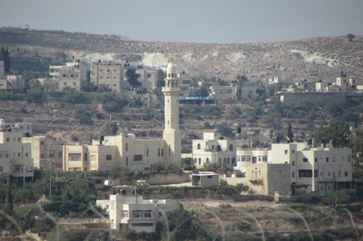
Beit Duqqu (Arabic: بيت دقّو) is a Palestinian village in the Jerusalem Governorate, located northwest of Jerusalem in the central West Bank.
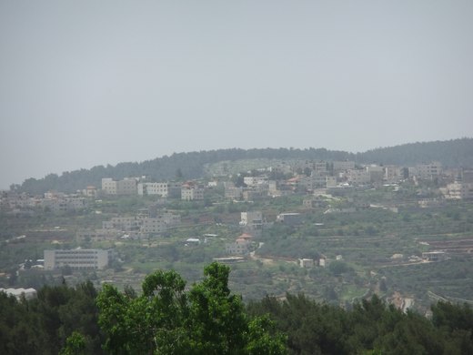
Beit Surik (Arabic: بيت سوريك) is a Palestinian village in the Jerusalem Governorate, located 12 kilometers Northwest of Jerusalem in the northern West Bank.
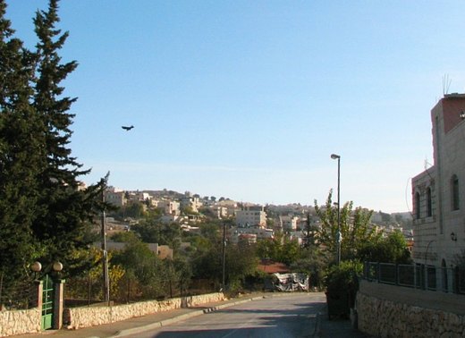
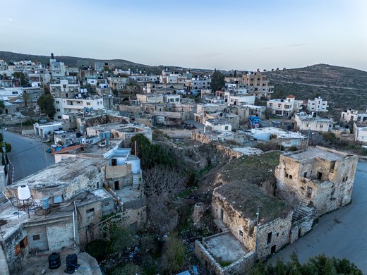
Beit 'Anan (Arabic: بيت عنان) is a Palestinian village in the Quds Governorate, located northwest of Jerusalem. In 2017, it had a population of 4,210.
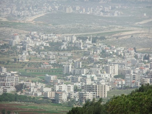
Bir Nabala (Arabic: بير نبالا; Hebrew: ביר נבאלא) is a Palestinian enclave town in the West Bank located eight kilometers northeast of Jerusalem, in Palestine.
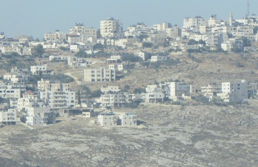
Jaba’ (Arabic: جبع) is a Palestinian town in the Jerusalem Governorate of the State of Palestine, located northeast of Jerusalem in the central West Bank.
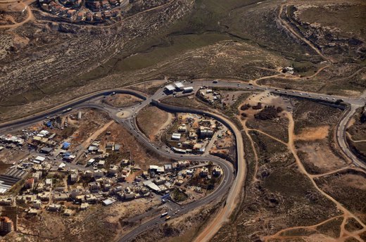
Hizma (Arabic: حزما) is a Palestinian town in the Jerusalem Governorate, seven kilometers from Jerusalem's Old City.

خرائب أم اللحم قرية فلسطينية، من قرى محافظة القدس، تدار بواسطة مجلس قروي خرائب أم اللحم. هي من القرى التي احتلتها إسرائيل خلال حرب 1967.
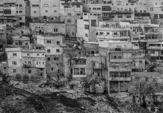
Ras al-Amud (Arabic: راس العامود, Rās al-ʿĀmūd; Hebrew: ראס אל עמוד) is a Palestinian neighborhood in East Jerusalem located southeast of the Old City of Jerusalem.
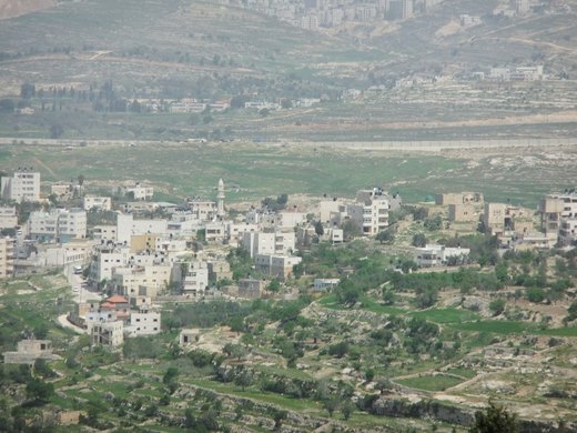
Rafat (Arabic: رافات) is a Palestinian town in the Jerusalem Governorate of the State of Palestine, located approximately 4 km (2.5 mi) southwest of the city of Ramallah in the central West Bank.
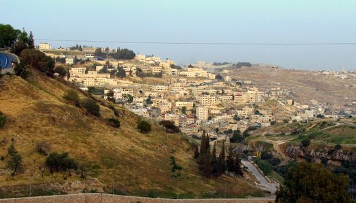
Silwan or Siloam (Arabic: سلوان, romanized: Silwan; Greek: Σιλωάμ, romanized: Siloam; Hebrew: כְּפַר הַשִּׁילוֹחַ, romanized: Kfar ha-Shiloaḥ) is a predominantly Palestinian district in East…

Sharafat (Arabic: شرفات) is a Palestinian Arab neighborhood of East Jerusalem, located within approximately 5 km to the south west of the Old City of Jerusalem.
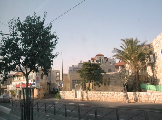
Shuafat (Arabic: شعفاط, romanized: Šuʿafāṭ), also Shu'fat and Sha'fat, is a mostly Palestinian Arab neighborhood of East Jerusalem, forming part of north-eastern Jerusalem.
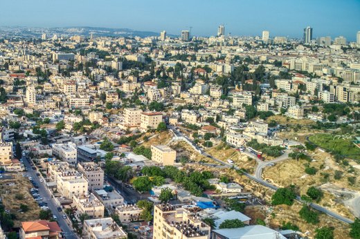
Sheikh Jarrah (Arabic: الشيخ جراح, romanized: Shaykh Jarrāḥ, Hebrew: שייח׳ ג׳ראח) is a predominantly Palestinian neighborhood in East Jerusalem, two kilometres (1+1⁄4 miles) north of the Old City, on…
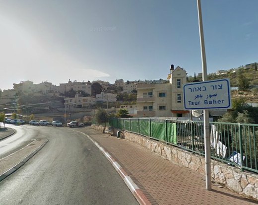
Sur Baher (Arabic: صور باهر, Hebrew: צור באהר), also Tsur Baher, is a Palestinian neighborhood on the southeastern outskirts of East Jerusalem.

ʿArab al-Jahalin also known as al-Jabal (Arabic: عرب الجهالّين) is a Palestinian Bedouin neighborhood in the Jerusalem Governorate, located five kilometers southeast of Jerusalem in the West Bank.
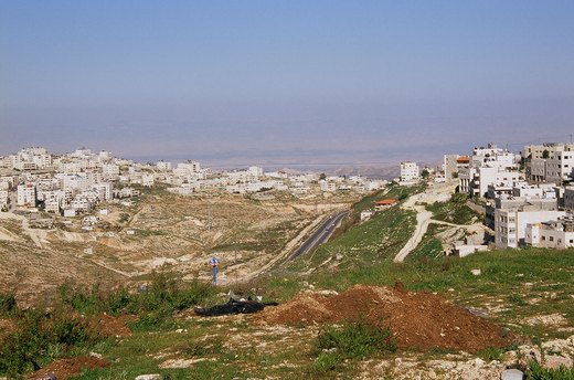
'Anata (Arabic: عناتا) is a Palestinian town in the Jerusalem Governorate of the State of Palestine, in the central West Bank, located four kilometers northeast of Jerusalem's Old City.
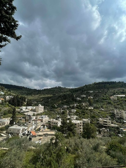
Qatanna (Arabic: قطنّه) is a Palestinian town in the central West Bank part of the Jerusalem Governorate, located 12 km. northwest of Jerusalem.

Qalandia or Qalandiya (Arabic: قلنديا), also known as Kalandia (Hebrew: קלנדיה), is a Palestinian village located in the West Bank, between Jerusalem and Ramallah, just west of the West Bank barrier.
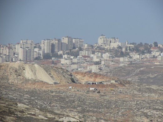
Kafr 'Aqab (Arabic: كفر عقب) is the northernmost Palestinian Arab neighborhood in East Jerusalem.
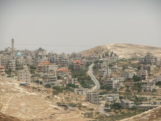
Mukhmas (Arabic: مُخماس) is a Palestinian village in the Jerusalem Governorate, located northeast of Jerusalem, in the center of the West Bank.

Shu'fat, or more commonly Shuafat (Arabic: شعفاط Šuʿafāṭ), is a Palestinian refugee camp in Jerusalem jurisdiction located next to Shuafat, a Palestinian Arab neighborhood of East Jerusalem.
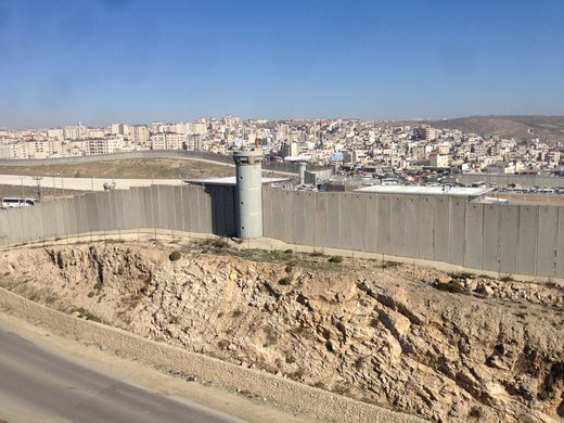
Qalandia Camp is a Palestinian refugee camp established in 1949 by the Red Cross on land leased from Jordan. It covers 353 dunums (0.353 km2; 35.3 ha) as of 2006 and had a population of 8,336 in 2017.
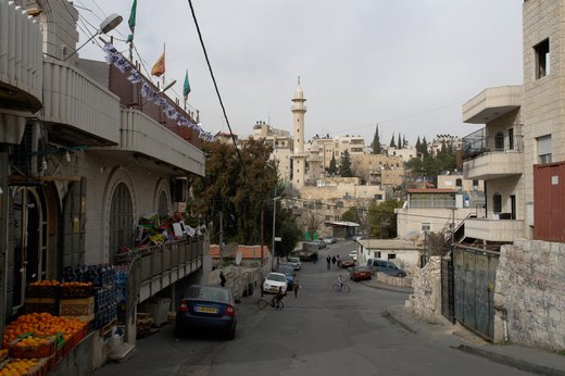
Wadi al-Joz (Arabic: وادي الجوز; Hebrew: ואדי אל-ג'וז), also Wadi Joz, is a Palestinian neighborhood in East Jerusalem, located at the head of the Kidron Valley, north of the Old City of Jerusalem.
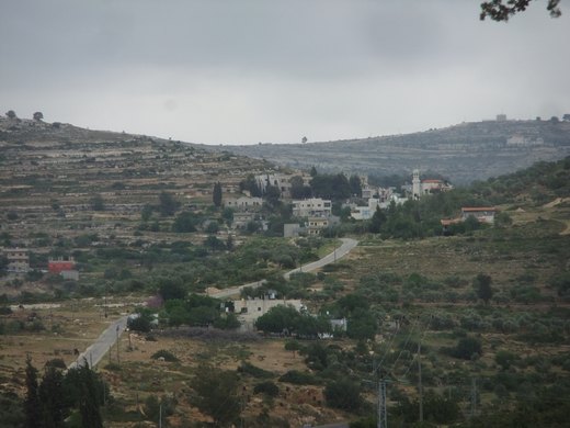
Umm Safa/Kafr Ishwa (Arabic: أم صفا) or Um Al-Safa is a Palestinian village in the Ramallah and al-Bireh Governorate.
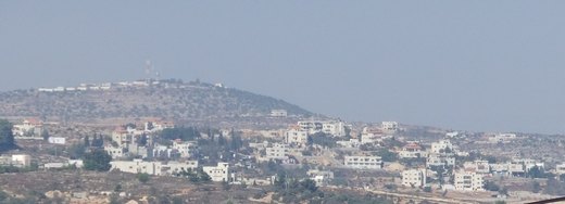
Abu Qash (Arabic: ابو قش) is a Palestinian village located in the Ramallah and al-Bireh Governorate in the northern West Bank, located north of Ramallah and south of the Birzeit University.
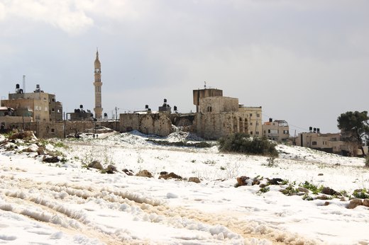
Al-Ittihad (Arabic: الاتحاد meaning "the Union") is a Palestinian town in the Ramallah and al-Bireh Governorate of the State of Palestine, created in 1997 as a merger of three towns Beitillu, Deir…
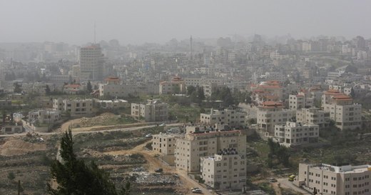
Every year the Loyalty to Heritage festival shows al-Bireh’s daily life: food, dress, crafts and songs.
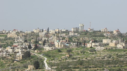
Al-Janiya (Arabic: الجانيه) is a Palestinian village in the Ramallah and al-Bireh Governorate located 8 kilometers northwest of Ramallah in the northern West Bank.
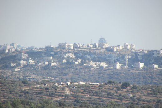
Al-Zaitounah (Arabic: الزيتونة, meaning "the Olive") is a Palestinian town in the Ramallah and al-Bireh Governorate of the State of Palestine.
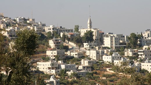
Taybeh (Arabic: الطيبة) is a Palestinian village in the West Bank, 15 kilometers (9.3 miles) northeast of Jerusalem and 12 kilometers (7.5 miles) northeast of Ramallah, in the Ramallah and al-Bireh…
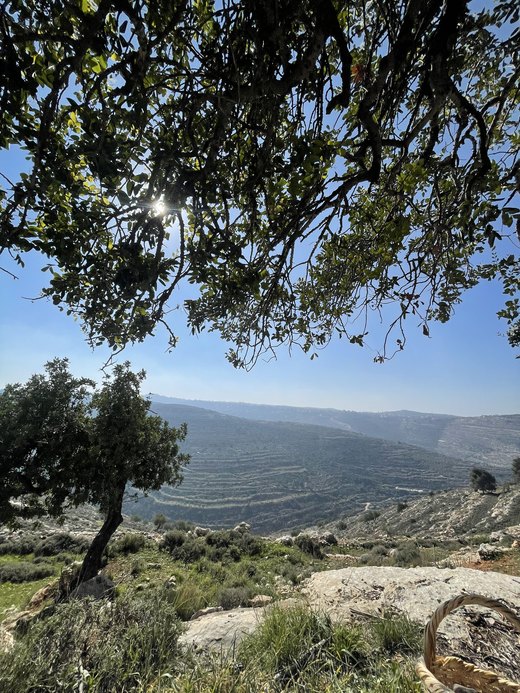
At-Tira (Arabic: الطيرة) is a Palestinian village in the Ramallah and al-Bireh Governorate in the northern West Bank.
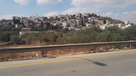
Al-Lubban al-Gharbi (Arabic: اللبّن الغربيّ) is a Palestinian village in the Ramallah and al-Bireh Governorate, located 21 kilometers northwest of Ramallah in the northern West Bank.
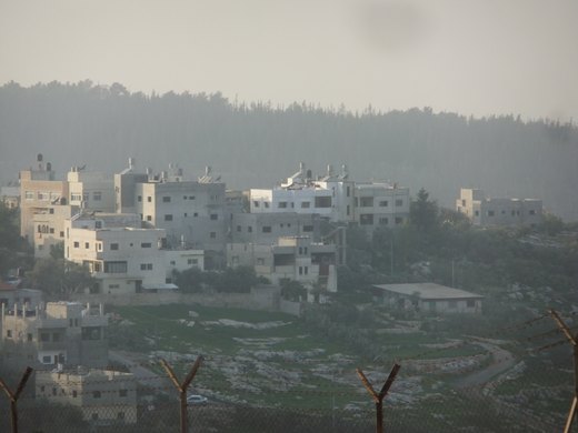
al-Midya (Arabic: المدية) is a Palestinian village in the Ramallah and al-Bireh Governorate in the western West Bank, located west of Ramallah.
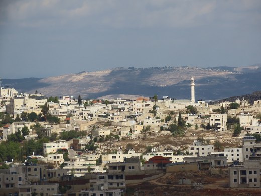
al-Mazra'a ash-Sharqiya (Arabic: المزرعة الشرقيّة) is a Palestinian town in the Ramallah and al-Bireh Governorate, located northeast of Ramallah in the northern West Bank.
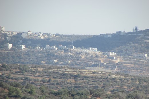
Al-Mazra'a al-Qibliya is a Palestinian village in the Ramallah and al-Bireh Governorate. The village had a population of 5,180 in 2017.
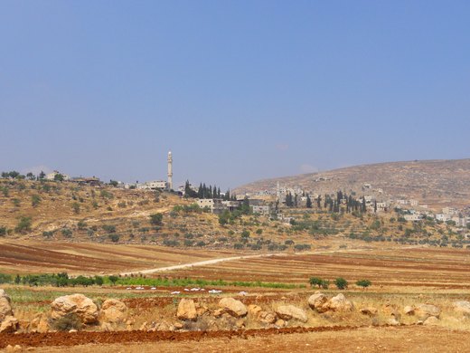
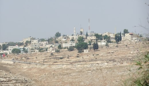
Nabi Salih (Arabic: النبي صالح al-Nabī ṣālḥ; alternatively spelled Nabi Saleh) is a small Palestinian village in the Ramallah and al-Bireh Governorate in the central West Bank, located 20 kilometers…
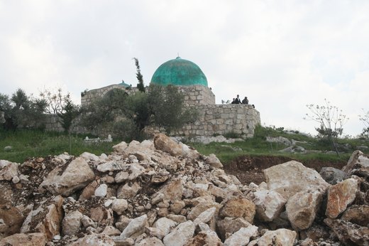
Budrus (Arabic: بُدرُس) is a Palestinian village in the Ramallah and al-Bireh Governorate, located 31 kilometers northwest of Ramallah in the northern West Bank.
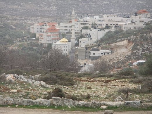
Burqa (Arabic: بُرقة) is a town in the Ramallah and al-Bireh Governorate, located east of Ramallah in the northern West Bank, Palestine.
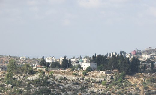
Burham (Arabic: بُرهام) is a Palestinian village in the Ramallah and al-Bireh Governorate located twelve kilometers north of Ramallah. The largest nearby town is Bir Zeit located to the southeast.
Bil'in (Arabic: بلعين) is a Palestinian village located in the Ramallah and al-Bireh Governorate, 12 kilometres (7.5 mi) west of the city of Ramallah in the central West Bank.
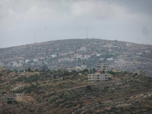
Bani Zeid al-Sharqiya (Arabic: بني زيد الشرقية) is a Palestinian town in the northern West Bank, located north of Ramallah in the Ramallah and al-Bireh Governorate.

بيت ريما بلدة فلسطينية من قرى الضفة الغربية وتتبع محافظة رام الله والبيرة. وهي تشترك في مجلس بلدي مع قرية دير غسانة منذ العام 1966 تحت مسمى بلدية بني زيد الغربية وتعتبر من أقدم المجالس البلدية في فلسطين.
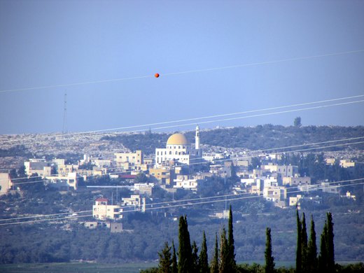
Beit Sira (Arabic: بيت سيرا) is a Palestinian village in the central West Bank, located 22 kilometers west of Ramallah and is a part of the Ramallah and al-Bireh Governorate.
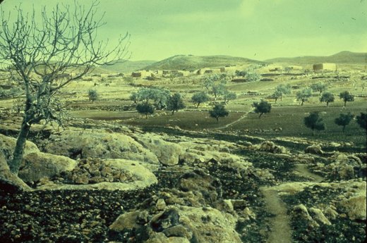
Beit Ur al-Tahta (Arabic: بيت عور التحتى, lit. "Lower house of straw") is a Palestinian village located in the central West Bank, in the Ramallah and Al-Bireh Governorate of the State of Palestine.
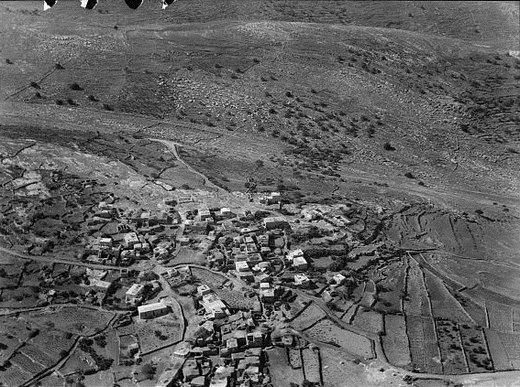
Beit Ur al-Fauqa (Arabic: بيت عور الفوقا) is a Palestinian village located in the Ramallah and al-Bireh Governorate of the State of Palestine, in the northern West Bank, 14 kilometers (8.7 mi) west…
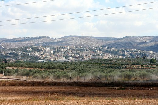
Beit Liqya (Arabic: بيت لقيا) is a Palestinian town located in the Ramallah and al-Bireh Governorate in the northern West Bank.
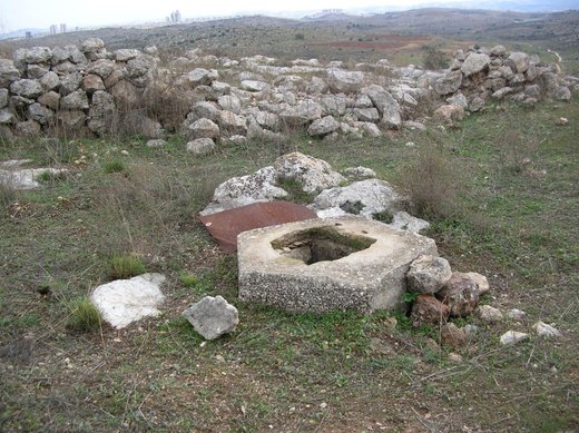
Bayt Nuba (Levantine Arabic: بيت نوبا, romanized: Bēt Nūba) is a depopulated Palestinian village located halfway between the Old City of Jerusalem and Ramla.
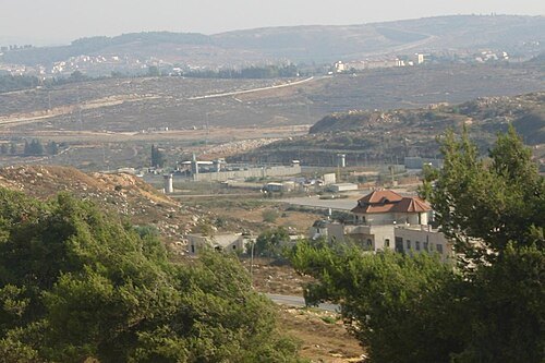
At 820 metres, the old town’s quarters keep their names and their plan: al-Faluja and al-Ajajra.

Beitin (Arabic: بيتين, romanized: Baytīn) is a Palestinian village in the Ramallah and al-Bireh Governorate in the central West Bank, located 5 kilometers (3.1 mi) northeast of Ramallah along the…
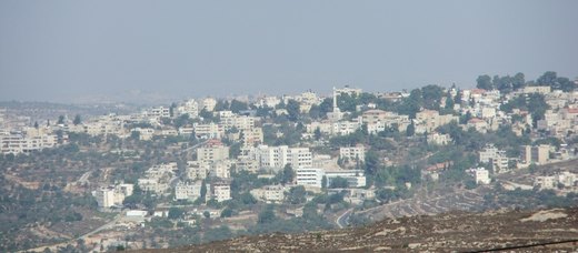
Birzeit (Arabic: بيرزيت), also Bir Zeit (بير زيت), is a Palestinian Christian town north of Ramallah, in the West Bank. Its population in the 2017 census was 5,878.
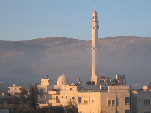
Turmus Ayya or Turmus'ayyeh (Arabic: ترمسعيّا) is a Palestinian town in the Ramallah and al-Bireh Governorate of the West Bank.

Jifna (Arabic: جفنا, Jifnâ) is a Palestinian village in the Ramallah and al-Bireh Governorate in the central West Bank of the State of Palestine, located 8 kilometers (5.0 mi) north of Ramallah and…

Jiljilyya (Arabic: جلجليّا) is a Palestinian village in the Ramallah and al-Bireh Governorate in the northern West Bank.

Jammala (Arabic: جمّالا) is a Palestinian town in the Ramallah and al-Bireh Governorate, located 18 kilometers Northwest of Ramallah in the northern West Bank.

Jibiya is a Palestinian village in the Ramallah and al-Bireh Governorate. It was founded after the 16th century. It is mentioned in text from 1697.

Khirbet Abu Falah (Arabic: خربة ابو فلاح, translates to "Ruins of the Farmer's Father") is a Palestinian village in the Ramallah and al-Bireh Governorate, located 26 kilometers (16 mi) north of…

Kharbatha al-Misbah (Arabic: خربثا المصباح) is a Palestinian town in the central West Bank, located 12.5 kilometers (7.8 mi) west of Ramallah in the Ramallah and al-Bireh Governorate.

Kharbatha Bani Harith (Arabic: خربثا بني حارث) is a Palestinian village in the central West Bank, located 15 kilometers west of Ramallah in the Ramallah and al-Bireh Governorate.

Dura al-Qar' (Arabic: دورا القرع) or Dura al-Qari'a is a Palestinian town in the central West Bank, part of the Ramallah and al-Bireh Governorate.

Deir Abu Mash'al (Arabic: دير ابو مشعل) is a Palestinian village in the Ramallah and al-Bireh Governorate of the State of Palestine, located 24 kilometers (15 mi) west of Ramallah in the northern…

Deir Ibzi (Arabic: دير إبزيع) is a Palestinian town in the Ramallah and al-Bireh Governorate, located west of Ramallah in the northern West Bank.

Deir as-Sudan (Arabic: دير السودان) is a Palestinian town in the Ramallah and al-Bireh Governorate of Palestine, located 20 kilometers northwest of Ramallah in the northern West Bank.

Deir Jarir (Arabic: دير جرير) is a Palestinian town in the Ramallah and al-Bireh Governorate of the State of Palestine, in the central West Bank, located twelve kilometers (7.5 miles) northeast of…
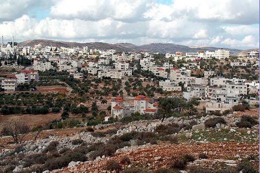
Deir Dibwan (Arabic: دير دبوان) is a Palestinian city in the Ramallah and al-Bireh Governorate in the central West Bank east of Ramallah.

Deir 'Ammar (Arabic: دير عمار, romanized: Dayr ʿAmmār) is a Palestinian town in the Ramallah and al-Bireh Governorate, located 17 km (11 mi) northwest of Ramallah in the northern West Bank.

دير غسانة هي قرية فلسطينية تقع في الضفة الغربية من أراض فلسطين. وتتبع محافظة رام الله والبيرة. وقعت تحت الاحتلال الإسرائيلي في عام 1967. تقع على بعد 25 كم إلى الشمال الغربي من مدينة رام الله، وتقع على درجة 32.0333 شمالا ودرجة 35.1036 شرقا.

Deir Qaddis (Arabic: دير قديس) is a Palestinian town in the Ramallah and al-Bireh Governorate of the State of Palestine, in the central West Bank, located sixteen kilometers west of Ramallah.

Deir Nidham (Arabic: دير نظام) is a Palestinian village in the Ramallah and al-Bireh Governorate in the central West Bank.

Ras Karkar (Arabic: رأس كركر) is a Palestinian village in the Ramallah and al-Bireh Governorate of the State of Palestine, located 11 kilometers (6.8 mi) northwest of Ramallah in the northern West…
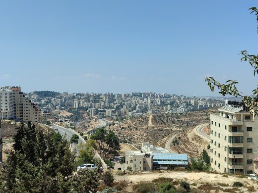
At the heart of Ramallah, an old town of more than 200 buildings has been given a conservation plan.

Rammun (Arabic: رمّون) is a Palestinian town in the Ramallah and al-Bireh Governorate in the central West Bank, located twelve kilometers east of Ramallah and three kilometers south of Taybeh.

Rantis (Arabic: رنتيس) is a Palestinian town in the West Bank, located in the northwestern Ramallah and al-Bireh Governorate, 33 kilometers northwest of Ramallah.

Silwad (Arabic: سلواد) is a Palestinian town located north-east of Ramallah, about 5 km away from the Nablus-Jerusalem highway of the West Bank, in the State of Palestine.
Sinjil (Arabic: سنجل) is a Palestinian town northeast of Ramallah in the Ramallah and al-Bireh Governorate of the State of Palestine, in the central West Bank.

Shabtin is a Palestinian village in the Ramallah and al-Bireh Governorate of the State of Palestine, in the central West Bank. Shabtin is located 14.4 kilometres (9 mi) north-west of Ramallah.

Saffa (Arabic: صفّاء) is a Palestinian town in the Ramallah and al-Bireh Governorate, located west of Ramallah in the northern West Bank.

Aboud (Arabic: عابود, romanized: ʿĀbūd) is a Palestinian village in the Ramallah and al-Bireh Governorate of the State of Palestine, in the central West Bank, northwest of Ramallah and 30 kilometers…

'Abwein (Arabic: عبوين) is a Palestinian village in the Ramallah and al-Bireh Governorate of the State of Palestine, located about 37 kilometers north of Ramallah, in the northern West Bank.

Ajjul (Arabic: عجّول) is a Palestinian village in the Ramallah and al-Bireh Governorate in the northern West Bank, located north of Ramallah.
'Atara (Arabic: عطارة 'Atâra) is a Palestinian village in the Ramallah and al-Bireh Governorate, located 15 kilometers north of Ramallah in the central West Bank.

Ein Siniya (Arabic: عين سينيا, ‘Ayn Sîniyâ) is a small Palestinian village in the Ramallah and al-Bireh Governorate, 10 kilometers (6.2 mi) north of Ramallah, and approximately 1km northeast from…

Ein Arik (Arabic: عين عريك, romanized: ʿAyn ʿArīk) is a Palestinian village in the Ramallah and al-Bireh Governorate, located 7 kilometers west of Ramallah in the central West Bank.

Ein Qiniya or 'Ayn Kiniya (Arabic: عين قينيا) is a Palestinian village in the northern West Bank, located 7 kilometers (4.3 mi) northwest of Ramallah and part of the Ramallah and al-Bireh Governorate…
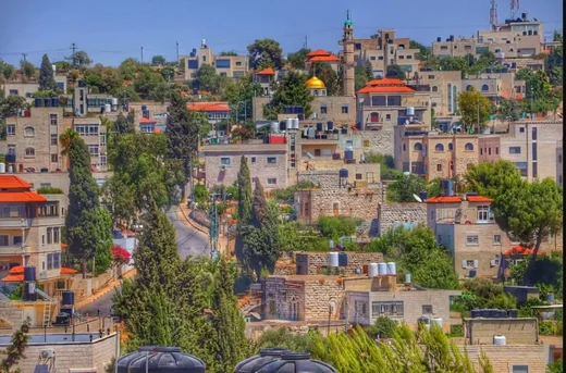
Ein Yabrud (Arabic: عين يبرود) is a Palestinian town in the Ramallah and al-Bireh Governorate in the central West Bank.
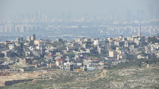
Qibya (Arabic: قبية) is a Palestinian village in the West Bank, located 30 kilometers (19 mi) northwest of Ramallah and exactly north of the large Israeli city of Modi'in.
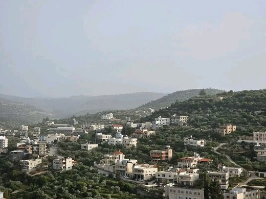
Qarawat Bani Zeid (Arabic: قراوة بني زيد) is a Palestinian village in the Ramallah and al-Bireh Governorate, located 22 kilometers northwest of Ramallah in the northern West Bank.
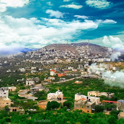
Kafr Ein (Arabic: كفر عين) is a Palestinian village in the Ramallah and al-Bireh Governorate, located northwest of Ramallah in the central West Bank.
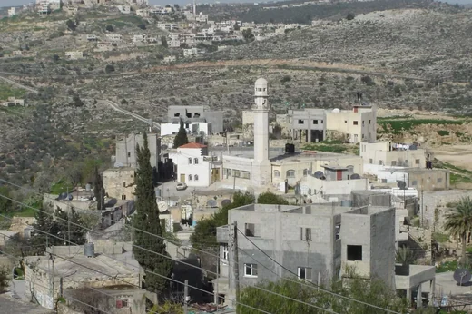
Kafr Ni'ma (Arabic: كفر نعمة) is a Palestinian town in the Ramallah and al-Bireh Governorate, located 13 kilometers northwest of Ramallah in the northern West Bank.
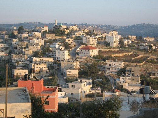
Kobar (Arabic: كوبر) is a Palestinian village in the Ramallah and al-Bireh Governorate of the State of Palestine, in the northern West Bank.
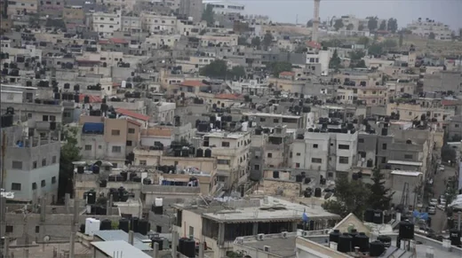
Jalazone (Arabic: مخيّم الجلزون) is a Palestinian refugee camp in the Ramallah and al-Bireh Governorate, located 7 kilometers (4.3 mi) north of Ramallah and adjacent to the village of Jifna to the…
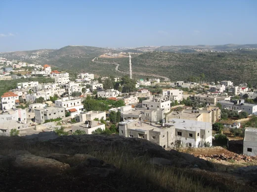
Deir Ammar Camp (Arabic: مخيّم دير عمّار) is a Palestinian refugee camp located in the Ramallah and al-Bireh Governorate, approximately 30 kilometers (19 mi) northwest of Ramallah in the northern…
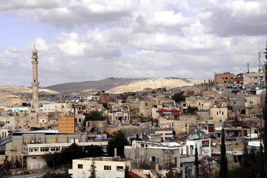
Ni'lin (Arabic: نعلين) is a Palestinian town in the Ramallah and al-Bireh Governorate of the State of Palestine, in the central West Bank, located 17 kilometers (11 mi) west of Ramallah.
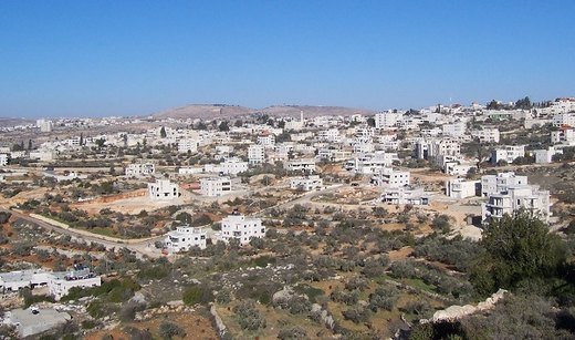
Yabrud (Arabic: يبرود) is a Palestinian village in the Ramallah and al-Bireh Governorate in the central West Bank.
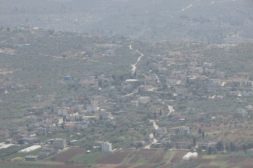
A Palestinian village in the Nablus governorate with about 1,566 residents in 2017; it was occupied in 1967.
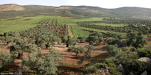
A Palestinian village in the Nablus governorate with about 2,053 residents in 2017 and a land area of 2,258 dunams.
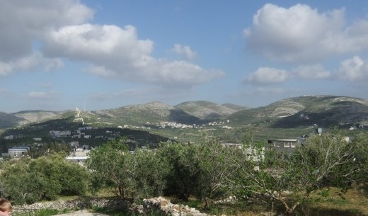
Ijnisinya lies 15 km north-west of Nablus, surrounded by Sebastia, Nasf Jbeil, Beit Imrin and An-Naqura; it gained its own village council in 2016.
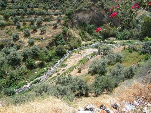
An area north-east of Nablus administratively part of Talouza's lands, with 15,000 dunams, known for its springs and orchards.
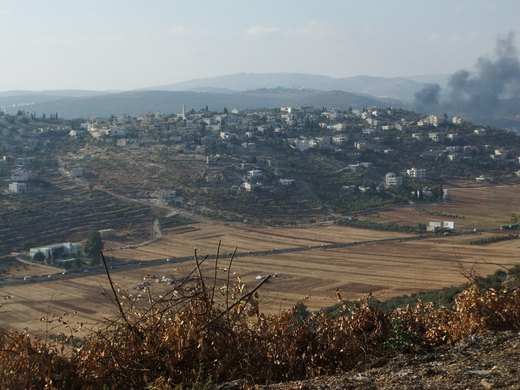
A Palestinian village in the Nablus governorate about 18 km south of the city, with 5,000 residents in 2017.
A Palestinian village in the Nablus governorate east of the city, 13 metres below sea level, occupied in 1967.
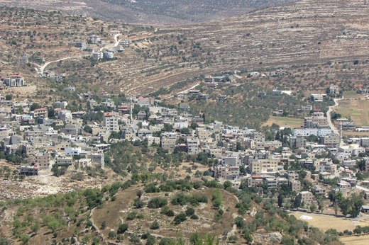
A village in the northern West Bank, 20 km from Nablus and 500 m above sea level, with a land area of 12,075 dunams mostly sown with grain and pulses.
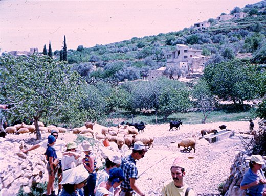
A Palestinian village in the Nablus governorate, 7.57 km north-west of the city and 464 m above sea level.
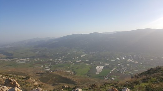
A village in the Nablus governorate 14 km east of the city, occupied after 1967.
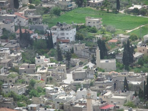
A village in the Nablus governorate surrounded by Bazzariya, Sebastia and Asira ash-Shamaliya, with about 4,500 residents and 26,868 dunams of land.
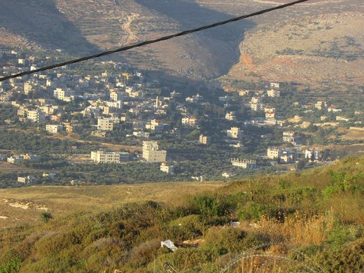
A Palestinian village in the Nablus governorate with 2,844 residents in 2017; it was occupied in 1967.
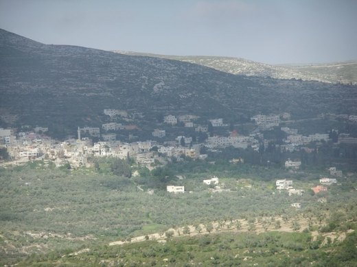
A village 18 km from Nablus at 430 m above sea level, surrounded by Burqa, Yasid, Jaba, Sebastia and Nasf Jbeil, with 12,100 dunams of land.
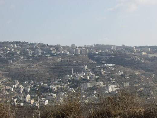
A village north-west of Nablus on the main Nablus-Tulkarm road, now physically merged with the city as it expanded westwards.
A village in the Nablus governorate 13 km from the city with about 4,281 dunams of land.
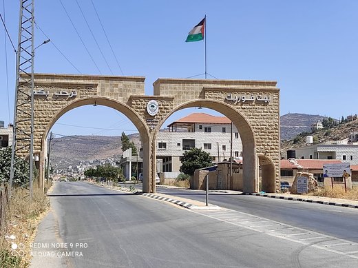
A village 8 km from Nablus at 520 m above sea level with about 28,522 dunams of land.
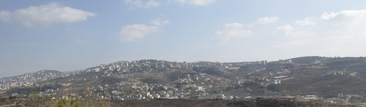
A village west of Nablus where the new campus of An-Najah National University was built, improving its economy in recent years.
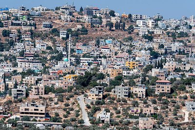
A town 13 km south-east of Nablus on the Nablus-Ramallah road, bordered by Qabalan, Yatma, Osarin, Aqraba, Huwara and Awarta.
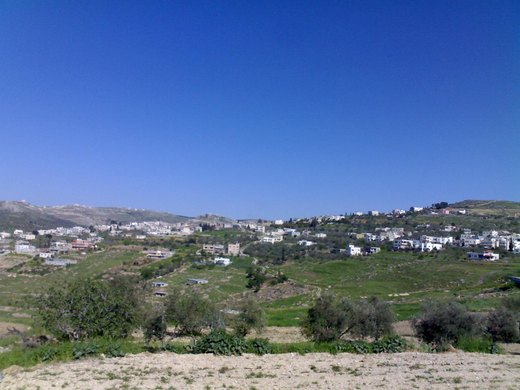
A village south-west of Nablus with 13,776 dunams of land, bordered by Rafidia, Sarra, Iraq Burin, Madama and others.
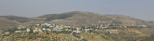
A village in the Nablus governorate with 3,591 residents in 2017 and 6,258 dunams of land; it was occupied in 1967.
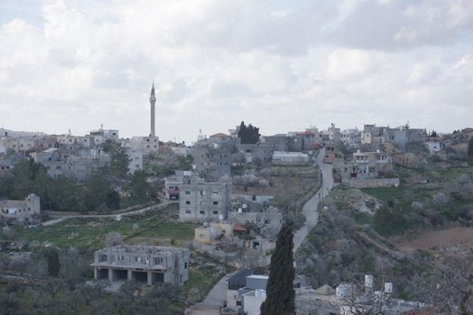
A village 26 km south-east of Nablus at 790 m, with 15,800 dunams; it gained its own council in 2016.
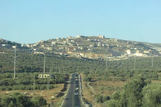
A town 16 km south-west of Nablus, famous for stone considered among the finest in the world, with about 28,000 dunams of land.
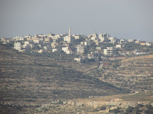
A village in the Nablus governorate with 1,541 residents in 2017; it was occupied in 1967.
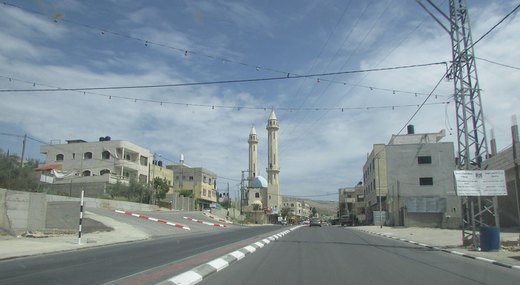
A town in the Nablus governorate 9 km south of the city on the Nablus-Jerusalem road, run by a municipal council.
A small Palestinian community south of Nablus, located in Area C under full Israeli control.
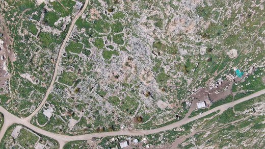
An archaeological site and Palestinian village east of Furik in the Nablus governorate, with 18,000 dunams of farmland and pasture.
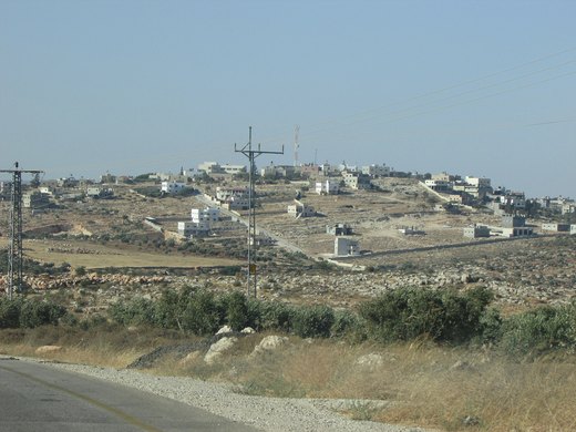
A village in the Nablus governorate with about 2,674 residents in 2017 and 17,351 dunams of land.
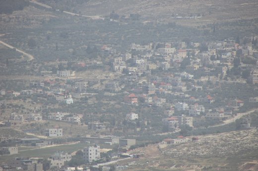
A Palestinian village in the Nablus governorate, occupied in 1967, near Salem and Beit Furik.
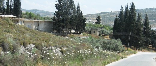
A village in the Nablus governorate whose name combines 'deir' (monastery) and 'sharaf' — a high place overlooking its surroundings.
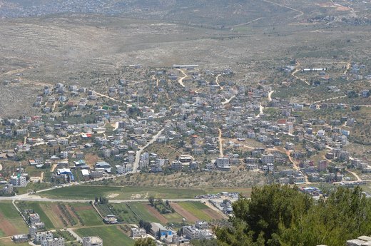
A town in the Nablus governorate 3 km south-east of the city with 5,964 residents in 2017.
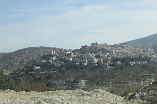
A town 5 km north-west of Nablus with about 2,000 residents, known for winter vegetables and citrus irrigated from its springs.
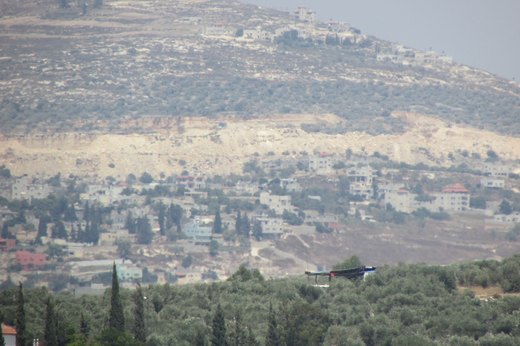
A Palestinian village in the Nablus governorate that came under occupation in the 1967 war.
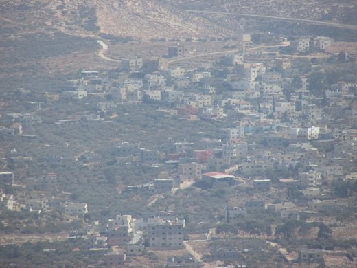
A village in the Nablus governorate about 6 km from the city at 515 m above sea level, with 10,466 dunams of land.
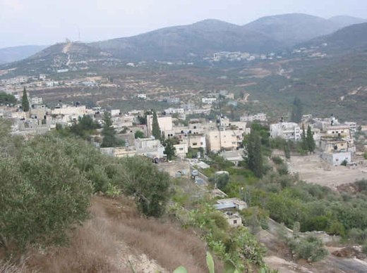
A town 12 km north-west of Nablus with more than 3,000 years of history; historians called it the Romans' capital in Palestine.
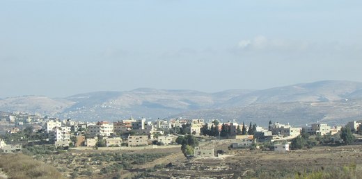
A village west of Nablus near Tell, home to the springs area and only a few kilometres from the old city.
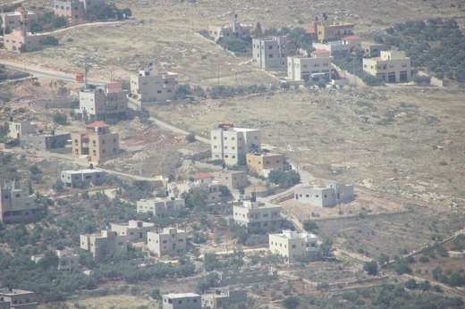
A village north-east of Nablus, once called Tel al-Lawz for its almond trees; its population reached 2,795 in 2017.
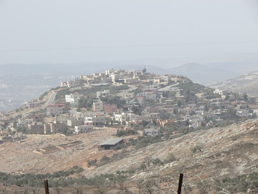
A Palestinian village in the Nablus governorate in the northern West Bank, occupied in 1967.
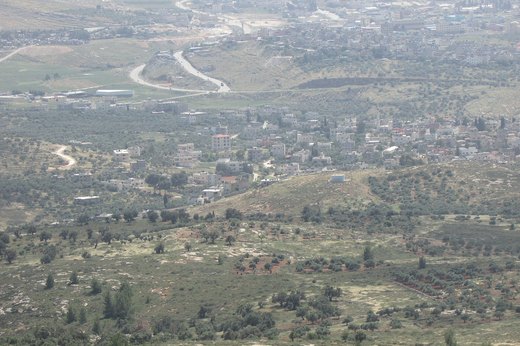
A Palestinian village in the Nablus governorate that came under occupation in 1967.
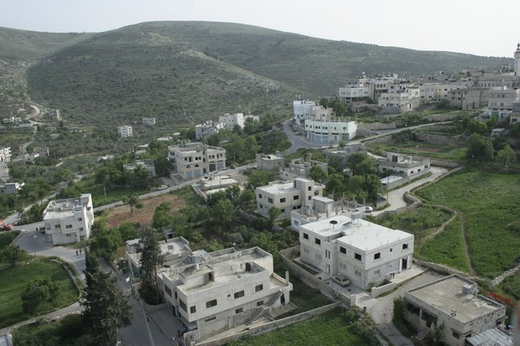
A town in the Nablus governorate 3.5 km north of the city, with about 8,813 residents in 2017.
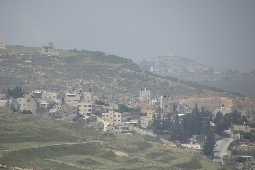
A village in the Nablus governorate known for wheat and olives and for its stone quarries.
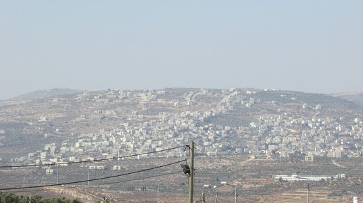
A town in the Nablus governorate with 10,024 residents in 2017 and about 144,000 dunams of land.
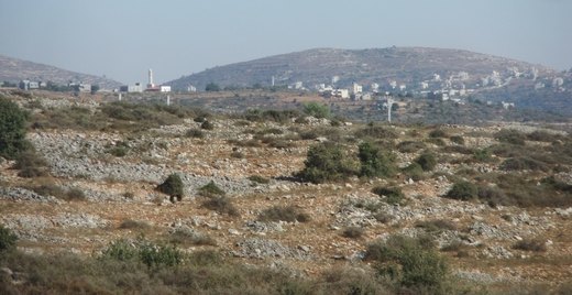
A Palestinian village in the Nablus governorate with about 371 residents in 2017.
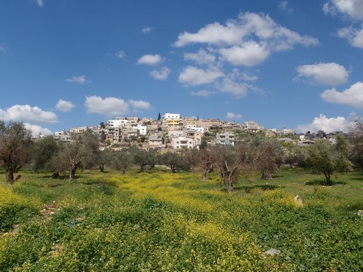
A town 8 km south-east of Nablus with 7,054 residents in 2017, a built-up area of 540 dunams and a village council.
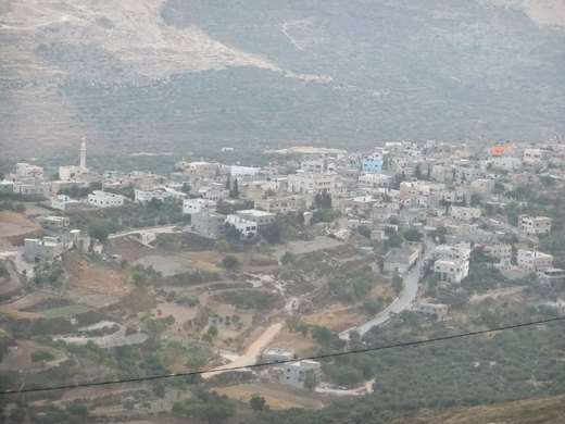
A village in the Nablus governorate 12 km south-west of the city at 580-850 m above sea level, with 4,064 dunams of land.
A Palestinian village in the Nablus governorate about 16 km east of the city.
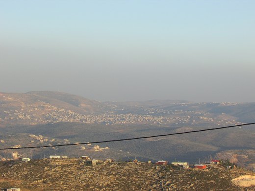
A village 11 km south of Nablus, bordered by Urif, Jamma'in, Huwara, Burin, Madama, Asira al-Qibliya and Yasuf.
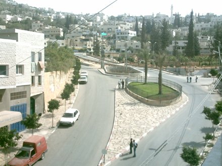
A town in the Nablus governorate founded in 1596, known for olives and almonds, and for its people's role in settling disputes.
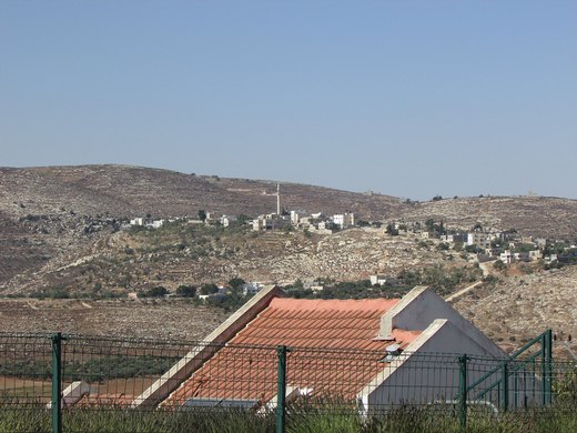
A village in the Nablus governorate occupied in 1967 with 2,469 residents in 2006; the hamlet of Jalud was separated administratively in 2016.
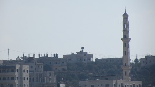
A village 24 km south-east of Nablus at 750-850 m above sea level, overlooking the Jordan Valley, known for almonds, figs, olives and grapes.
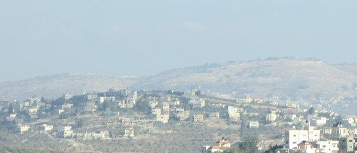
A Palestinian village in the Nablus governorate with about 2,251 residents in 2017; it was occupied in 1967.
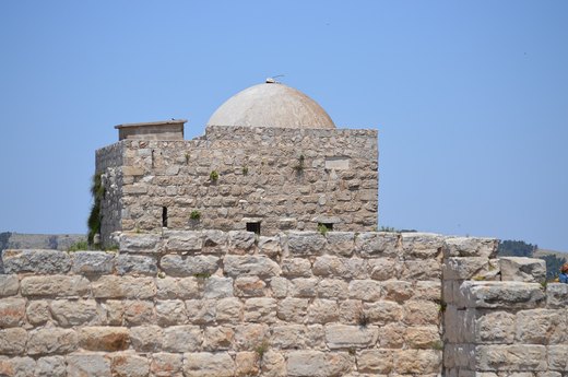
A town 4.3 km south of Nablus at 537 m above sea level with about 2,194 dunams of land.
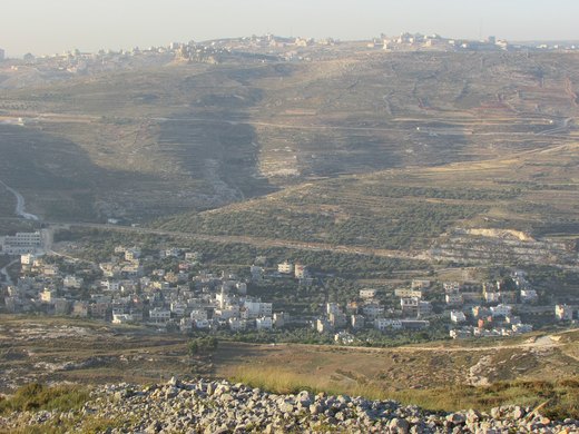
A Palestinian village in the Nablus governorate, occupied in 1967.
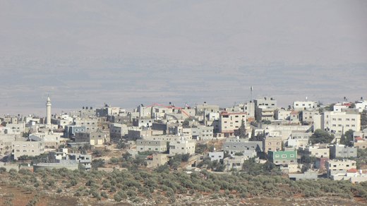
A village in the Nablus governorate with about 2,907 residents in 2017 and 28,000 dunams of land.
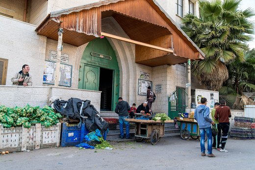
Balata is the largest Palestinian refugee camp in the West Bank, established in 1950 on 252 dunams inside Nablus, with residents from many different villages.
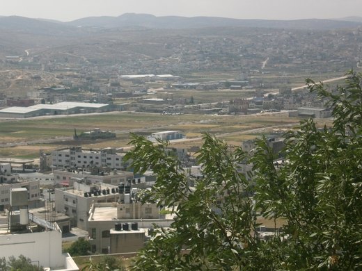
Askar camp lies inside Nablus municipality; it was established in 1950 on 209 dunams and expanded by 90 more dunams in 1965 as 'New Askar'.
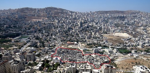
Ein Beit al-Ma, also called Camp No. 1, is the first Palestinian refugee camp in the West Bank and Gaza, established in 1948 on land belonging to Nablus.
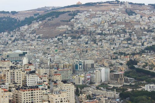
Mountain of Fire, Little Damascus, home of scholars — its old city is still known for soap, knafeh and zaatar.
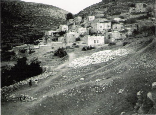
A village north-west of Nablus with 394 residents in 2007 and 471 in 2017, relying on olive farming.
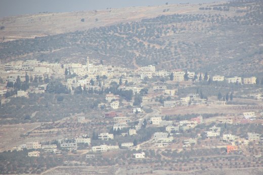
A town in the Nablus governorate bordered by Wadi al-Far'a to the east, Siris and Mithalun to the north, and Beit Imrin and Jaba to the west.
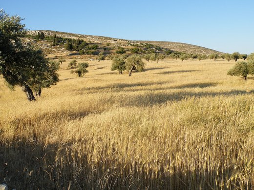
A village in the Nablus governorate with about 92 residents in 2017 and 16,450 dunams of land.
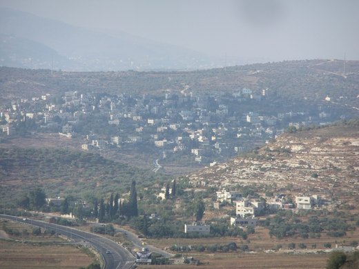
A village in the Nablus governorate with 3,363 residents in 2017; it was occupied in 1967.

أبو العرقان هي قرية فلسطينية تقع في منطقة دورا، والتي تقع بالجنوب الغربي من مدينة الخليل، وتبعد عنها 13 كم. يحدها من الشمال قرية كرمة، ومن الشرق بلدة السموع، ومن الغرب قرية رابود وبلدة دورا، ومن الجنوب بلدة الظاهرية.

قرية أبو العسجا أو أبو الغزلان هي إحدى قرى محافظة الخليل، وتقع إلى الجنوب من مدينة الخليل، وعلى بعد 19 كم منها.

Umm Ashoqan is a Palestinian village in the Hebron Governorate, located east of Yatta in the southern West Bank.
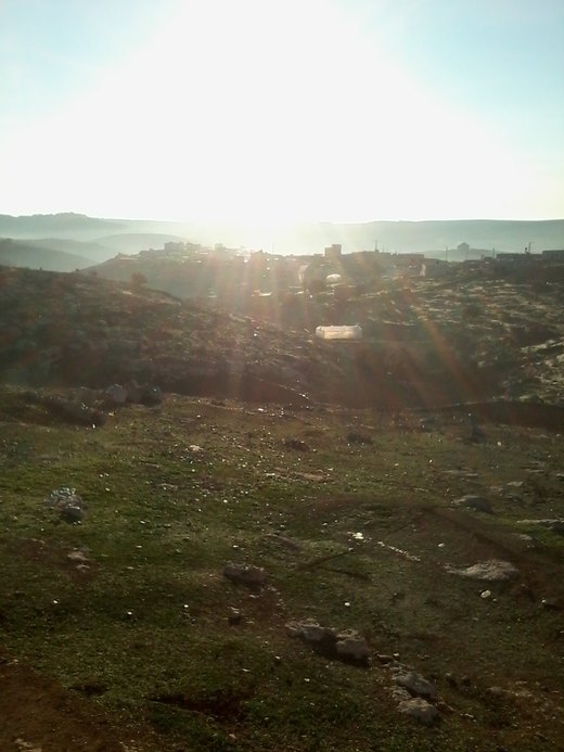
Umm Lasafa is a Palestinian village in the Hebron Governorate, located southeast of Yatta, in the southern West Bank.
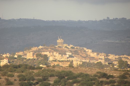
Idna or Idhna (Arabic: إذنا) is a Palestinian town in the southern West Bank, located in the Hebron Governorate of the State of Palestine, 13 kilometers west of Hebron and about one kilometer east of…

إسكيك هي قرية فلسطينية، من قرى محافظة الخليل، تقع إلى الجنوب الغربي من دورا. وهي من القرى التي احتلتها إسرائيل خلال حرب 1967. تدار بواسطة مجلس قروي دير العسل التحتا.

Imreish (Arabic: امريش) is a Palestinian village located eleven kilometers south-west of Hebron. The village is in the Hebron Governorate in the southern West Bank.

Imneizil (Arabic: إمنيزل) is a small Palestinian village in the Hebron Governorate of the southern West Bank, located about 17 kilometres southwest of Hebron and east of Yatta.

Al-Burj (Arabic: البرج) is a Palestinian village located twenty kilometers (12 mi) southwest of Hebron, in the Hebron Governorate of State of Palestine, in the southern West Bank.

Al-Buweib is a village in the Palestinian Hebron Governorate, located east of Yatta and south of Hebron in the southern West Bank.

Al-Bireh is a Palestinian village located southwest of the city of Dura, in the Hebron Governorate of the southern West Bank.

al-Heila (Arabic: الحيلة) is a Palestinian village located eight kilometers south of Hebron. The village is in the Hebron Governorate Southern West Bank.
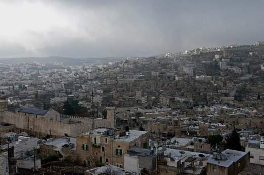
From coloured-glass furnaces to tanning and copper-brightening, Hebron’s crafts live on in its old town alleys.
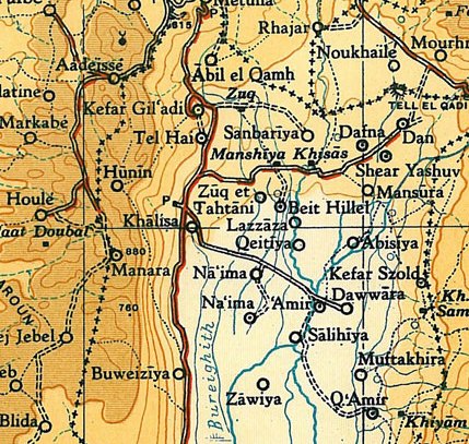
Al-Dawwara (Arabic: الدوّارة) was a Palestinian Arab village in the Safad Subdistrict. It was depopulated during the 1948 War on May 25, 1948, by the Palmach's First Battalion of Operation Yiftach.

Ad-Deirat (Arabic: الديرات), is a village on the outskirts of Yatta in the Palestinian Hebron Governorate.

Ar-Rifa'iyya (Arabic: الرفاعيّة), is a Palestinian village in the Hebron Governorate, located east of the city of Yatta and south of the city of Hebron in the West Bank, and within the lands occupied…

Khirbet al-Rakiz (also: al‑Rakeez; Arabic: خِرْبِة ٱلرَّكِيز) is a small Palestinian herding hamlet in the South Hebron Hills within the Masafer Yatta area of the Hebron Governorate in the southern…
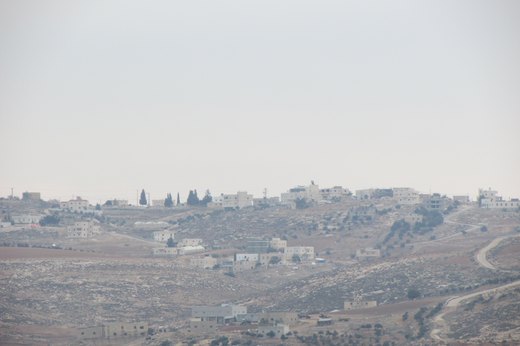
Al-Ramadin (Arabic: الرماضين) is a Palestinian village located 24 kilometers southwest of Hebron and includes the smaller village of 'Arab al-Fureijat to the southeast.

Ar-Rihiya (Arabic: ريحيا) is a Palestinian town located six kilometers southwest of Hebron. The town is in the Hebron Governorate southern West Bank.
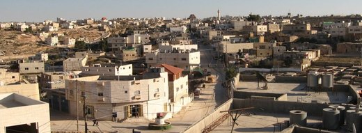
As Samu' or es-Samu' (Arabic: السموع) is a town in the Hebron Governorate of the West Bank, Palestine, 12 kilometers south of the city of Hebron and 60 kilometers southwest of Jerusalem.
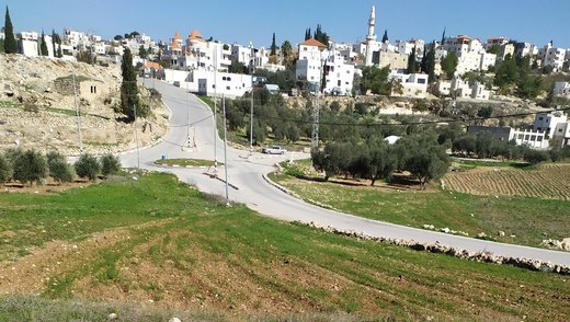
As Simiya (Arabic: السيمياء) Simiya is a Palestinian village located 15 kilometers west of Dura in Hebron. The village is located in the Hebron Governorate in the southern West Bank.
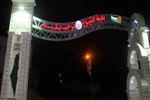
Ash-Shuyukh or al-Shuyukh (Arabic: الشيوخ) is a Palestinian town in the Hebron Governorate of the State of Palestine, located 6 km northeast of the city of Hebron.

as-Sura is a Palestinian village located fifteen kilometers south-west of Hebron. The village is in the Hebron Governorate Southern West Bank.

at-Tabaqa (Arabic: خربة الطبقه) is a Palestinian village located seven kilometers west of Hebron. The town is in the Hebron Governorate Southern West Bank.
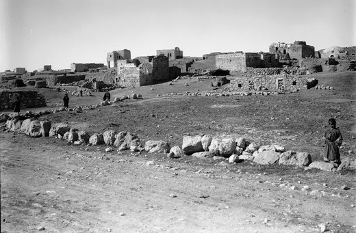
At 655 metres, on the West Bank’s southernmost edge, olive and vine gardens keep watch over the Hebron–Beersheba road.

al-Uddeisa, also spelled Al 'Uddeisa, is a Palestinian village located four kilometers east of Hebron.The village is a locality of Sa'ir, in the Hebron Governorate Southern West Bank.

Kitāb al-ʿAyn (Arabic: كتاب العين) is the first Arabic language dictionary and one of the earliest known dictionaries of any language.
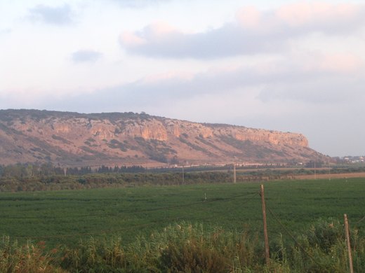
Mount Carmel (Hebrew: הַר הַכַּרְמֶל, romanized: Har haKarmel; Arabic: جبل الكرمل, romanized: Jabal al-Karmil), also known in Arabic as Mount Mar Elias (Arabic: جبل مار إلياس, romanized: Jabal Mār…

Al-Majd (Arabic: خربة المجد) is a Palestinian village located eighteen kilometers south-west of Hebron. The village is in the Hebron Governorate of Palestine, in the southern West Bank.
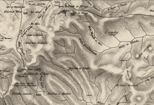
Al-Mirkaz (Arabic: المركز) is a small Palestinian hamlet located in the Masafer Yatta region of the Hebron Governorate, in the southern West Bank.
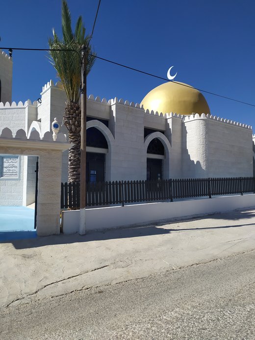
Al-Muwarraq is one of the villages of Dura in the Hebron Governorate, located west of the city of Hebron, approximately 15 kilometers south of the West Bank.

al-Najjada (Arabic: النجادة, or Munazzamat al-Najjada al-Falastiniyya) was a Palestinian Arab paramilitary scout movement formed in Jaffa, British Mandate of Palestine on 8 December 1945.
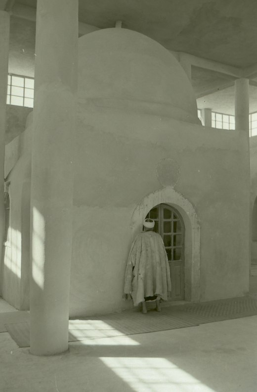
Bani Na'im (Arabic: بني نعيم, romanized: Banī Naʾīm, lit. 'children of bliss') is a town in the southern West Bank located 8 kilometers (5.0 mi) east of Hebron in the Hebron Governorate of Palestine.

Beit Ula, Beit Aula, (Arabic: بيت أولا) is a Palestinian town in the Hebron Governorate of the State of Palestine, located ten kilometers northwest of Hebron, in the southern West Bank.

Beit al-Rush al-Tahta (Arabic: بيت الروش التحتا) is a village in the Hebron Governorate of the southern West Bank.

Beit ar-Rush al-Fauqa (Arabic: بيت الروش الفوقا) is a Palestinian village located eighteen kilometers southwest of Hebron.The village is in the Hebron Governorate Southern West Bank.
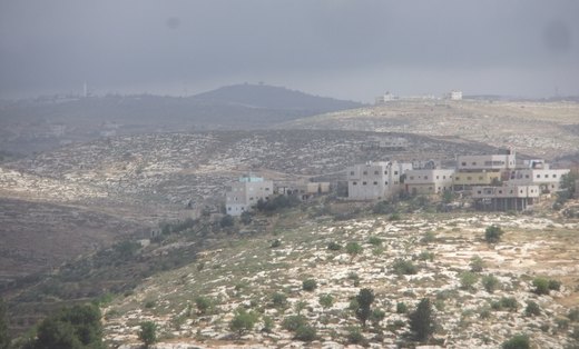
Beit 'Amra (Arabic: خربة بيت عمرة) is a Palestinian village located twelve kilometers southwest of Hebron. The village is in the Hebron Governorate Southern West Bank.
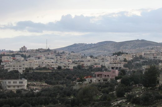
Beit Awwa (Arabic: بيت عوّا) is a Palestinian town in the southern West Bank, in the Hebron Governorate of the State of Palestine, located 22 kilometres (14 mi) west of Hebron and 4 kilometers west…
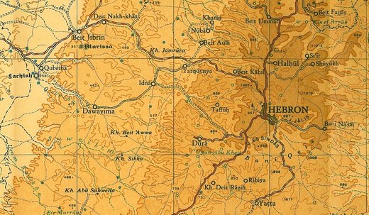
Beit Kahil (Arabic: بيت كاحل) is a Palestinian village in the Hebron Governorate in the southern West Bank, located seven kilometers northwest of Hebron. The village had a population of 8,880 in 2017.

Beit Mirsim is a Palestinian village in the city of Dura in the Hebron Governorate, located southwest of Hebron, 30 kilometres (19 mi) south of the West Bank.

بيت مقدوم هي تجمع فلسطيني ضمن مجلس قروي الكوم غرب محافظة الخليل جنوب الضفة الغربية. وقع تحت الاحتلال الإسرائيلي بعد حرب 1967.

Tarqumiyah (Arabic: ترقوميا, romanized: Tarqūmiyā) is a city located 12 kilometers northwest of Hebron, in the southern West Bank, in the Hebron Governorate in the State of Palestine.
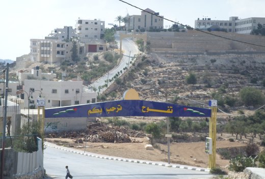
Taffuh (Arabic: تفّوح) (lit. fragrance) is a Palestinian town located eight kilometers west of Hebron. The town is in the Hebron Governorate in the southern West Bank.

Jala is a Palestinian village village located in the southern West Bank, approximately 12 kilometers north of the city of Hebron, within the Hebron Governorate.

Hatta is a Palestinian village located in the Hebron Governorate, in the southern West Bank.

Hadab al-Fawwar (Arabic: حدب الفوّار, lit. Sparkling Slope) is a Palestinian village located seven kilometers southwest of Hebron. The village is in the Hebron Governorate Southern West Bank.

Hadab al-Alaqa is a village in the area of Dura, in the Hebron Governorate, in the southern West Bank. It is located 12 kilometres (7.5 mi) southwest of the city of Hebron.

Hureiz (Arabic: حريز) is a Palestinian village located seven kilometers south-east of Hebron. The village is in the Hebron Governorate Southern West Bank.
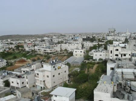
At 1,027 metres, its place on the Jerusalem–Hebron road made it a lively market — and its stone built the town.

حمصة تجمع فلسطيني ضمن مجلس قروي الكوم غرب محافظة الخليل جنوب الضفة الغربية. وقع تحت الاحتلال الإسرائيلي بعد حرب 1967.
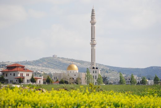
Kharas (Arabic: خاراس) is a Palestinian town in the southern State of Palestine, located twelve kilometers northwest of Hebron, part of the Hebron Governorate.

خربة أبو حامد هي إحدى خرب وقرى مدينة دورا بمحافظة الخليل جنوب الضفة الغربية، تقع جنوب غرب مدينة الخليل وعلى بعد 18 كليو متر، بالقرب من خط الهدنة عام 1949 وهي ضمن الأراضي الفلسطينية التي احتلت عام 1967.
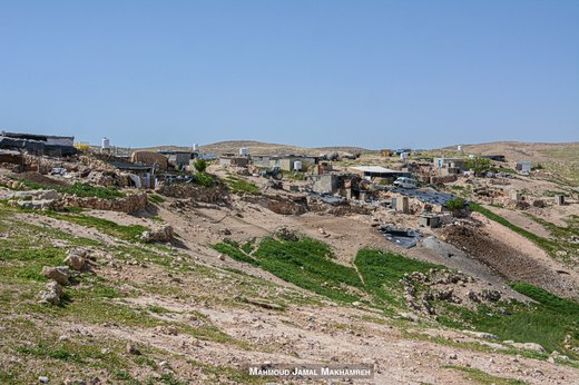
Khirbet at-Tabban (Arabic: خربة التبان, also: al-Tabban) was a small Palestinian herding hamlet in the South Hebron Hills, within the Masafer Yatta cluster of communities in the Hebron Governorate of…

Khirbet at-Tuwāmin (Arabic: خِرْبِة ٱلتُّوَيْمِين, also: al-Tuweimin, al-Twamin, at-Tuwaymīn) is a small Palestinian herding hamlet in the South Hebron Hills, within the Masafer Yatta cluster of…

Khirbet al-Fakhit (also: al-Fakheet; Arabic: خِرْبِة ٱلْفَخِيت) is a small Palestinian herding hamlet in the South Hebron Hills, within the Masafer Yatta cluster of communities in the Hebron…

Khirbet al-Majaz (Arabic: خربة المجاز) is a small Palestinian herding hamlet in the South Hebron Hills, within the Masafer Yatta cluster of communities in the Hebron Governorate of the southern West…

Khirbet Bīr al-ʿIdd (Arabic: بير العدّ, also: Bir al-Idd, Bir el-ʿEid) is a small Palestinian herding hamlet in the South Hebron Hills, within the Masafer Yatta cluster of communities in the Hebron…

Khirbet Deir Shams is one of the villages of Ad-Dhahiriya in the Hebron Governorate, located southwest of the city of Hebron and 18 kilometers south of the West Bank.

Khirbet Salama is a Palestinian village located west of the city of Dura, Hebron in the Hebron Governorate, in the southern West Bank.

Khirbet Shuweika is one of the villages in the Ad-Dhahiriya area in the Hebron Governorate. It is located southwest of the city of Hebron and 17 kilometers south of the West Bank.

Khirbet Ghuwein al-Fauqa (Arabic: خربة غويين الفوقا, "Upper Ghuwein") is a Palestinian hamlet in the South Hebron Hills, within the Hebron Governorate of the southern West Bank.

Khursa (Arabic: خرسا) is a Palestinian village located seven kilometers south-west of Hebron. The village is in the Hebron Governorate in the Southern West Bank.

خشم الكرم تجمع سكاني فلسطيني جنوب الخليل تقع في مسافر يطا شرق مدينة يطا في محافظة الخليل جنوب الضفة الغربية، وقعت تحت الاحتلال الإسرائيلي بعد حرب 1967.

Khallet Edar is a Palestinian village in the Hebron Governorate, located south of the city of Hebron in the southern West Bank.

Khallet al-Aqed is a Palestinian village in the Dura district of the Hebron Governorate, south of the West Bank.

Khalet al-Maiyya (Arabic: خلة المية), is a Palestinian village located nine kilometers south of Hebron and four kilometers west of Yatta. The village is in the Hebron Governorate Southern West Bank.
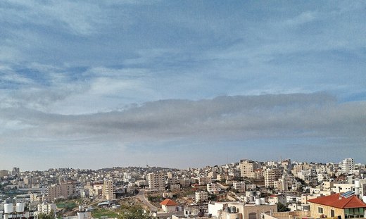
In the 1930s Dura was known for carpet weaving, and photographs show its women at the loom.

Deir al-Asal al-Tahta (Arabic: دير العسل التحتا) is a Palestinian village in the Hebron Governorate, south of the West Bank. It is located 18 km (11 miles) southwest of the city of Hebron.
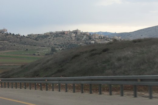
Deir al-'Asal al-Fauqa (Arabic: دير العسل الفوقا) is a Palestinian town located sixteen kilometers west of Hebron.The town is in the Hebron Governorate Southern West Bank.
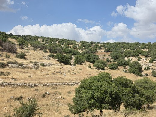
Deir Razih (Arabic: دير رازح) is a Palestinian village in the southern West Bank located about 11 kilometers (6.8 mi) southwest of Hebron, in the Hebron Governorate.
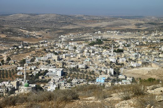
Deir Sammit (Arabic: دير سامت) is a Palestinian town located eight kilometers west of Hebron. The town is in the Hebron Governorate Southern West Bank.
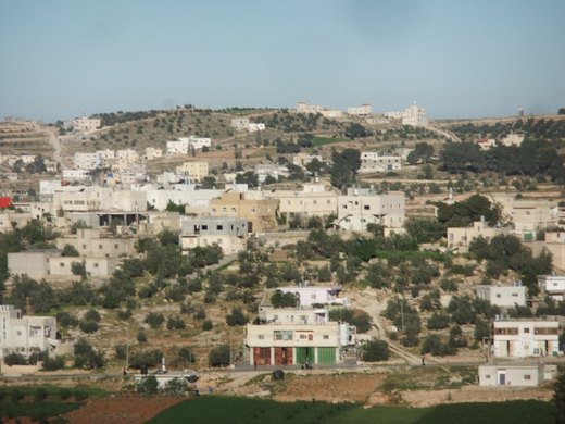
Rabud (Arabic: رابود, also known as Khirbet Rabud) is a Palestinian village in the southern West Bank, in the Hebron Governorate of the State of Palestine.

الرفادة هي قرية فلسطينية، من قرى محافظة الخليل، تقع قرب مدينة دورا. وهي من القرى التي احتلتها إسرائيل خلال حرب 1967. تدار بواسطة مجلس بلدي دورا.

Zif (Arabic: زيف) is a Palestinian village located 7 kilometers (4.3 mi) south of Hebron. The village is in the Hebron Governorate in the southern West Bank.

Sa'ir (Arabic: سعير, also spelled Saeer, Seir, or Si'ir) is a Palestinian town in the Hebron Governorate of the State of Palestine, in the southern West Bank, located 8 kilometers (5.0 mi) northeast…

Sikka is a Palestinian village in the Dura district of the Hebron Governorate, in the south of the West Bank.

Suba, also known as Khirbet Suba, is a Palestinian village located in the Hebron Governorate, northwest of the city of Hebron in the southern West Bank.
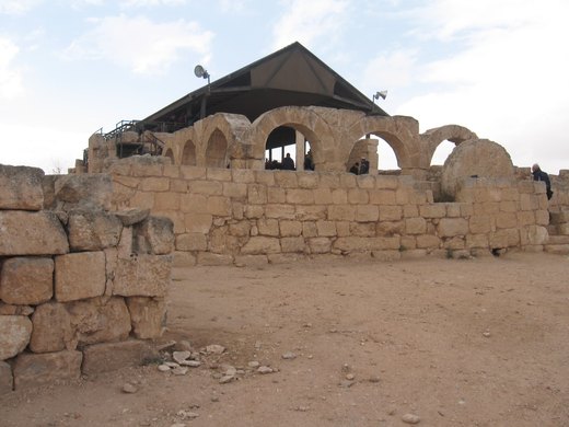
Susya (Arabic: سوسية, Hebrew: סוּסְיָא; Susiyeh, Susiya, Susia) is a location in the southern Hebron Governorate in the West Bank.

Shuyukh al-Arrub (Arabic: شيوخ العروب) is a Palestinian village located eleven kilometers north-east of Hebron. The village is in the Hebron Governorate Southern West Bank.
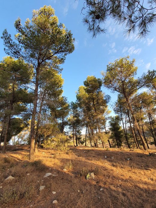
Khirbet Safa (Arabic: خربة صافا) is a Palestinian village located twelve kilometers north-west of Hebron. The village is in the Hebron Governorate Southern West Bank.
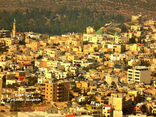
Surif (Arabic: صوريف) is a Palestinian City in the Hebron Governorate located 25 km northwest of the city of Hebron.

طاروسة تجمع فلسطيني ضمن مجلس بلدي ديرسامت-السيمياء غرب محافظة الخليل جنوب الضفة الغربية. وقع تحت الاحتلال الإسرائيلي بعد حرب 1967.

Tarrama (Arabic: طرّامة, also known as Khirbet al-Tarramah) is a Palestinian village situated on a hilltop with an elevation of 879 meters (2,884 ft) in the southern West Bank, part of the Hebron…

Tawas (Arabic: طواس) is a Palestinian community within the Sikka and Tawas Village Council, located to the west of the Hebron Governorate in the southern West Bank.

Abda is one of the villages of Dura in the Hebron Governorate, southwest of the city of Hebron and 10 km away from it in the southern West Bank.

Arab al-Fureijat is a Palestinian village in the Hebron Governorate, located southwest of the city of Hebron and near al-Ramadin in the southern West Bank.

عرقان طراد قرية فلسطينية تقع شمال شرق بلدة سعير في محافظة الخليل بالضفة الغربية، ترتفع عن سطح البحر 800 م.

Anab al-Kabir is a Palestinian village in the Hebron Governorate, located 22 km southwest of the city of Hebron in the southern West Bank.

Fuqeiqis is a Palestinian village located southwest of Dura, in the Hebron Governorate of the southern West Bank.
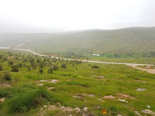
Qilqis (Arabic: قلقس) is a Palestinian village located four kilometers south of Hebron and adjacent to the Israeli settlement of Beit Haggai.

قنان جابر تجمع سكاني فلسطيني جنوب الخليل، يقع ضمن مجلس بلدي مدينة يطا في محافظة الخليل جنوب الضفة الغربية، وقع تحت الاحتلال الإسرائيلي بعد حرب 1967.

Kurza (Arabic: كرزة) is a Palestinian village located seven kilometers south-west of Hebron. The village lies in the Hebron Governorate in the Southern West Bank.

Karma (Arabic: كرمة) is a village located nineteen kilometers south-west of Hebron, Palestine. The village is in the Hebron Governorate Southern West Bank.
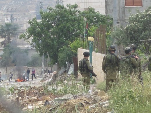
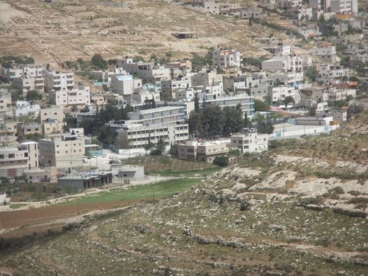
Fawwar (Arabic: مخيّم الفوّار) is a Palestinian refugee camp adjacent to the town of Hadab al-Fawwar in the Hebron Governorate, located 6 km (3.7 mi) southwest of Hebron in the southern West Bank.

Marah al-Baqqar (مراح البقار) is a Palestinian village in the Dura district of the Hebron Governorate, south of the West Bank.

Ma'in (Arabic: معين) is a small Palestinian village in the south Hebron Hills of the Hebron Governorate, located 14 kilometers south of Hebron.

Maghayir al-Abeed (Arabic: مَغَايِر ٱلْعَبِيد, also transliterated Maghawir al-Abeed, Maghayir al-‘Abid) is a small Palestinian herding hamlet in the South Hebron Hills, within the Masafer Yatta…
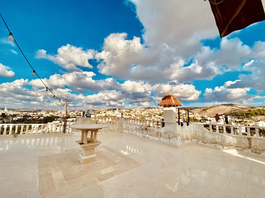
Nuba (Arabic: نوبا) is a Palestinian town located eleven kilometers north-west of Hebron.The town is in the Hebron Governorate of the State of Palestine, in the southern West Bank.

Haribat a-Nabi (Arabic: هرابة النبي, also spelled Harabat al-Nabi and Hreibat al-Nabi) is a small Palestinian herding hamlet in the South Hebron Hills, within the Masafer Yatta cluster of communities…

وادي الريم هي قرية من قرى محافظة الخليل في فلسطين. تتبع إداريا وخدماتيا إلى بلدية سعير. تقع القرية في موقع جغرافي تشرف فيه على البحر الميت. سميت بهذا الاسم لكثرة الغزلان فيها.

Wadi ash-Shajina (English: Shagna Valley) is a Palestinian village in the Hebron Governorate, in the south of the West Bank. The village had a population of 762 in 2017.

Wadi Ubeid is a Palestinian village located west of the city of Dura in the Hebron Governorate, in the southern West Bank.

خربة واضح هي تجمع سكاني فلسطيني تقع في منطقة جبلية تطل على الساحل الفلسطيني ضمن أراضي مدينة دورا بمحافظة الخليل جنوب الضفة الغربية، وعلى بعد 13 كيلو متر جنوب غرب مدينة الخليل، وترتفع عن سطح البحر حوالي 880 م، وإلى الغرب من خربة الطبقة، وهي…
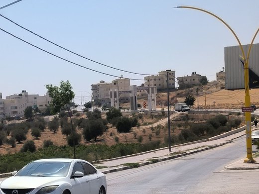
An Omari mosque, the shrine of al-Khidr and a church floor of coloured mosaics: Yatta’s antiquities are spread across its land.

Umm Salamuna (Arabic: خربة ام سلمونة) is a Palestinian village located twelve kilometers south-west of Bethlehem. The village is in the Bethlehem Governorate in the southern West Bank.
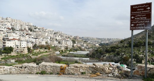
Artas (Arabic: أرطاس) is a Palestinian village located four kilometers southwest of Bethlehem in the Bethlehem Governorate of Palestine, in the central West Bank.
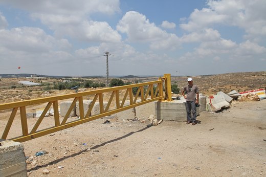
Jab'a or al-Jab'a (Arabic: الجبعة) is a Palestinian village in the central West Bank, located 17 kilometers north of Hebron and 15 kilometers southwest of Bethlehem.

الحجيلة قرية فلسطينية من قرى الضفة الغربية وتقع في محافظة بيت لحم وقد وقعت تحت الاحتلال الإسرائيلي في حرب 1967 ولكنها تتبع السلطة الوطنية الفلسطينية الآن. ولها مجلس قروي.

الحلقوم قرية فلسطينية من قرى الضفة الغربية، في محافظة بيت لحم وقد وقعت تحت الاحتلال الإسرائيلي في حرب 1967 ولكنها الآن تتبع السلطة الوطنية الفلسطينية.لها مجلس قروي.

الخاص هي قرية فلسطينية، من قرى محافظة بيت لحم، تقع إلى الشرق من بيت ساحور. وهي من القرى التي احتلتها إسرائيل خلال حرب 1967. تدار بواسطة مجلس قروي الخاص.

Al-Dawha (Arabic: الدوحة) is a Palestinian area located in Beit Jala, two kilometers southwest of Bethlehem.

Ashawawra (Arabic: الشواورة) is a Palestinian village located twelve kilometers southeast of Bethlehem. The village is in the Bethlehem Governorate central West Bank.
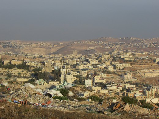
Al-Ubeidiya (Arabic: العبيدية) is a Palestinian town located 6 kilometers (3.7 mi) east of Bethlehem, in the Bethlehem Governorate of the State of Palestine, in the central West Bank.

Al-Asakra (Arabic: العساكرة) is a Palestinian village in the Bethlehem Governorate in the south-central West Bank, located 4.5 kilometers southeast of Bethlehem.
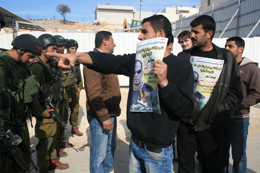
Al-Masara (Arabic: المعصرة, pronounced al-Ma'sara; translation: "the press") is a Palestinian village in the central West Bank, 6.2 km southwest of Bethlehem, part of the Bethlehem Governorate.

المنشية قرية فلسطينية تقع جنوب مدينة بيت لحم وتبعد عنها 7.2 كم، يحدها من الشرق بلدة تقوع ومن الغرب مراح معلا و أم سلمونة ومن الشمال المعصرة ومن الجنوب مراح رباح وترتفع القرية 776 متر عن سطح البحر وبلغ عدد سكانها 433 في عام 2007

Al-Maniya (Arabic: المانیا, also spelled al-Minya) is a Palestinian village in the Bethlehem Governorate in the central West Bank, 8.6 km southeast of Bethlehem and just south of Tuqu'.
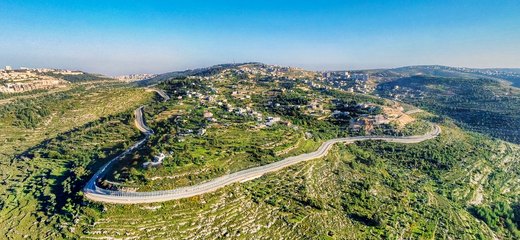
Al-Walaja (Arabic: الولجة) is a Palestinian village in the West Bank, in the Bethlehem Governorate of the State of Palestine, four kilometers northwest of Bethlehem.
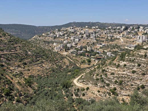
Battir (Arabic: بتير, Hebrew: ביתר) is a Palestinian village in the Bethlehem Governorate of the State of Palestine, in the West Bank, 6.4 km west of Bethlehem, and southwest of Jerusalem.
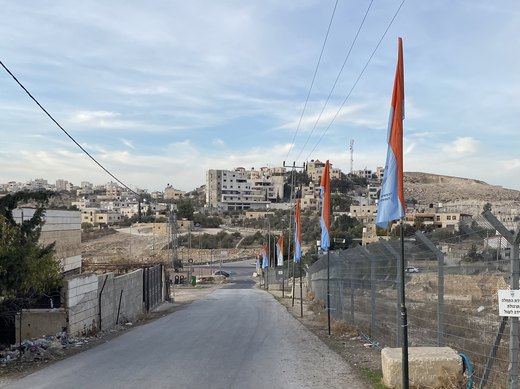
Beit Ta'mir (Arabic: خربة بيت تعمر) is a Palestinian village located six kilometers southeast of Bethlehem.The town is in the Bethlehem Governorate central West Bank.
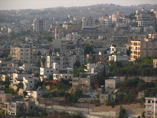
Before folklore became a discipline, a doctor from Beit Jala was collecting peasants’ songs and proverbs.
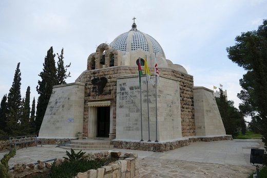
As pilgrimage grew, mother-of-pearl inlaid on olive wood flourished — and still feeds the town’s households.
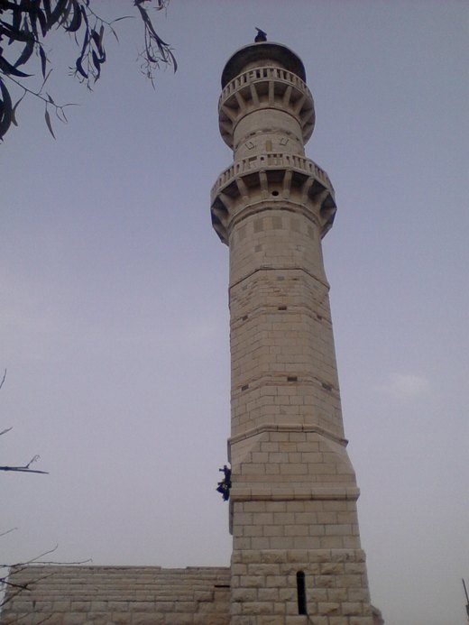
Beit Fajjar (Arabic: بيت فجّار) is a Palestinian town located eight kilometers south of Bethlehem in the Bethlehem Governorate, in the central West Bank.
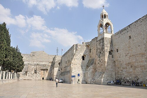
In the nineteenth century the town drew pilgrims from Europe; wool and ceramics flourished — and emigration began.
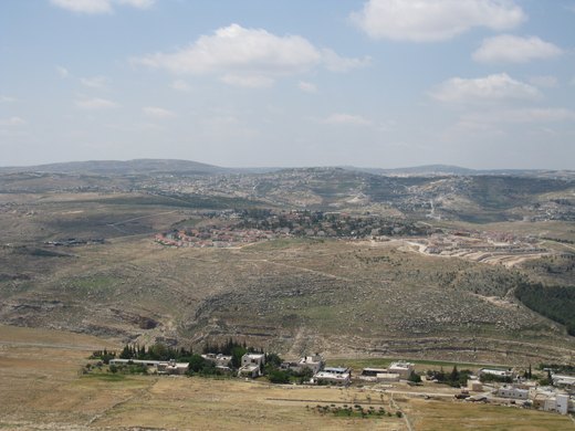
Tuquʿ or Tequʿ (Arabic: تقوع) is a Palestinian town in the Bethlehem Governorate, located 12 km (7.5 mi) southeast of Bethlehem in the occupied West Bank.

Jubbet ad-Dib (Arabic: جبة الذيب, also spelled Jubbet adh-Dhib) is a small Palestinian village in the central West Bank, part of the Bethlehem Governorate.

Jurat ash-Sham'a is a Palestinian village located ten kilometers south of Bethlehem. The village is in the Bethlehem Governorate in the southern West Bank.
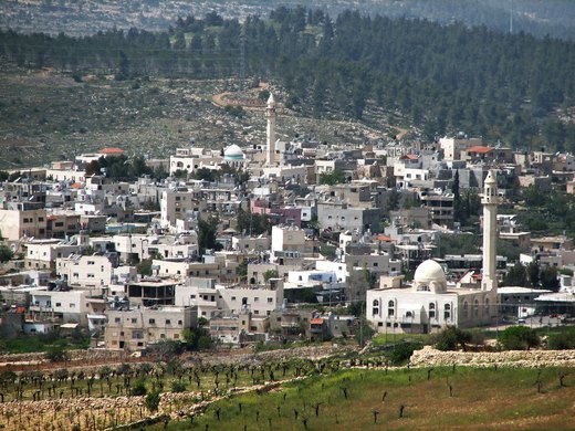
Husan (Arabic: حوسان) is a Palestinian town located 9 km (5.6 mi) west of Bethlehem, in the Bethlehem Governorate.

خربة الدير قرية فلسطينية تقع جنوب مدينة بيت لحم في وسط الضفة الغربية. تبعد القرية نحو عشرة كيلومترات عن مدينة بيت لحم، وتقع ضمن التجمعات السكانية التابعة لمحافظة بيت لحم.

خربة الدير قرية فلسطينية تقع جنوب مدينة بيت لحم في وسط الضفة الغربية. تبعد القرية نحو عشرة كيلومترات عن مدينة بيت لحم، وتقع ضمن التجمعات السكانية التابعة لمحافظة بيت لحم.

Khallet al-Haddad is a Palestinian village located 5.5 km (3.4 mi) south of Bethlehem. The village is in the Bethlehem Governorate in the southern West Bank.

Khallet al-Louza (Arabic: خلة اللوزة; also Khalayel al-Louz) is a Palestinian village in the Bethlehem Governorate in south-central West Bank about 3 to 4 kilometres south of Bethlehem city.

Nuaman or Khallet an Nu'man (Arabic: النعمان, meaning "Grace"), also written al-Numan/an-Nu'man, is a small village located just north of Beit Sahour in the Palestinian Governorate of Bethlehem.

خلة حمامة قرية فلسطينية، من قرى محافظة بيت لحم، تقع إداريا ضمن بلدية بيت جالا. وهي من القرى التي احتلتها إسرائيل خلال حرب 1967.
Khirbet Beit Zakariyyah (variants: Beit Iskâria, Khirbet Zakariah, Beit Skâria; Arabic: خربة بيت زكريا) is a small Palestinian village southwest of Bethlehem in the West Bank, perched on a hill that…

Dar Salah (Arabic: دار صلاح) is a Palestinian village located 6 km (3.7 mi) east of Bethlehem. The village is in the Bethlehem Governorate Southern West Bank.

رخمه أو عيلة علي أو خربة علي علي نسبة إلى مختارهم علي قرية فلسطينية .تقع في جنوب شرقي محافظة بيت لحم، سكانها عرب التعامرة تتبع لبلدية جناته، وقعت تحت الاحتلال في حرب 1967 ولكنها تتبع السلطة الوطنية الفلسطينية الآن.
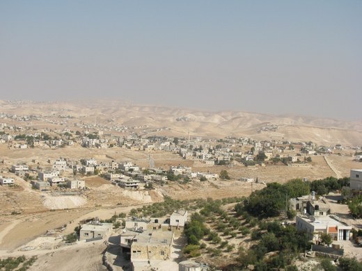
Za'atara (Arabic: زعترة) is a Palestinian town located 11 km (6.8 mi) southeast of Bethlehem. The town is in the Bethlehem Governorate central West Bank.

'Arab al-Rashayida (Arabic: عرب الرشايدة) is a Palestinian village in the Bethlehem Governorate, central West Bank.

Kisan (Arabic: كيسان) is a Palestinian village located in the Bethlehem Governorate of the State of Palestine, in the southern West Bank.
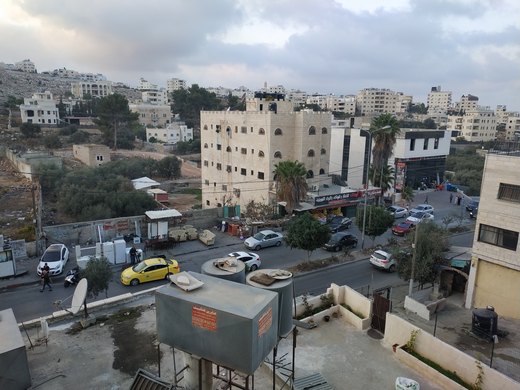
Dheisheh (Arabic: مخيم الدهيشة) is a Palestinian refugee camp located just south of Bethlehem in the West Bank.

Marah Rabah is a Palestinian village located twelve kilometers south of Bethlehem. The village is in the Bethlehem Governorate central West Bank.

مراح معلا قرية فلسطينية تقع جنوب مدينة بيت لحم وتبعد عنها 7 كم، يحدها من الشرق بلدة تقوع ومن الغرب جورة الشمعة ومن الشمال بلدة المعصرة ومن الجنوب أم سلمونة وترتفع القرية 893 متر عن سطح البحر وبلغ عدد سكانها 1600 في 2024 عام .
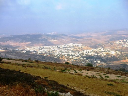
Nahalin, also spelled Nahaleen, (Arabic: نحالين) is a Palestinian village located in the Bethlehem Governorate of the State of Palestine, to the southwest of Bethlehem in the West Bank.

Hindaza (Arabic: هندازة) is a Palestinian village located six kilometers south-east of Bethlehem. The village is in the Bethlehem Governorate Southern West Bank.
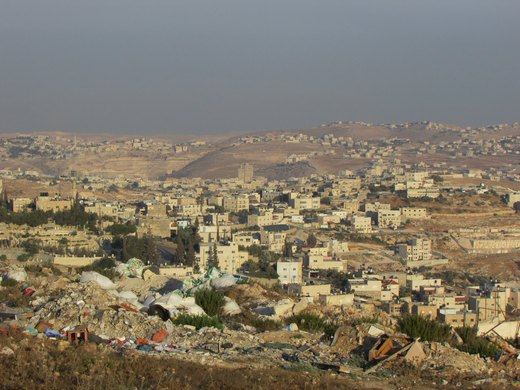
Wadi al-Arayis (Palestinian Arabic: وادي العرايس, romanized: Wādi l-ʿArāyis, lit.

وادي النيص إحدى قرى بيت لحم وتبعد عنها 7 كم، يحدها من الشرق جورة الشمعة ومن الشمال وادي رحال ومن الغرب مستوطنة افرات ومن الجنوب أم سلمونة وترتفع 903 متر عن سطح البحر، وقد تاسس المجلس القروري عام 1996 ، وتبلغ مساحة القرية 10437 دونم.

وادي رحال قرية فلسطينية تقع جنوب مدينة بيت لحم وتبعد عنها 5.7 كم، يحدها من الشرق بلدة جناتة ومن الغرب مستوطنة افرات ومن الشمال بلدة الخضر ومن الجنوب وادي النيص وترتفع القرية 894 متر عن سطح البحر وبلغ عدد سكانها 1419 في عام 2007.
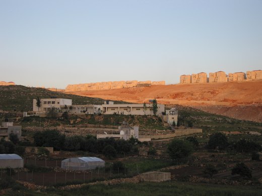
Wadi Fukin (Arabic: وادي فوقين) is a Palestinian village in the West Bank, eight kilometers southwest of Bethlehem in the Bethlehem Governorate.
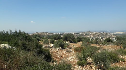
Umm ar-Rehan (Arabic: أم الريحان, lit. 'Mother of Basil'; also transliterated Umm Rihan or Um al-Rehan) is a Palestinian village of 447 inhabitants located high on the northwestern
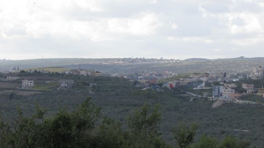
أم دار هي قرية فلسطينية وواحدة من القرى الواقعة في منطقة جبل الخطاف، جنوب غرب مدينة جنين في الضفة الغربية. تقع القرية على بُعد حوالي 20 كم من مدينة جنين، وتصل ارتفاعاتها إلى حوالي 170 مترًا
Al-Judeida (Arabic: الجديدة) is a Palestinian village in the Jenin Governorate in the western area of the West Bank, located 14 kilometres (9 mi) south of Jenin.
Jalamah (Arabic: جلمه) or Jalameh is a Palestinian village in the West Bank, located 5 km north of the city of Jenin in the northern West Bank.

About 20 km west of Jenin, al-Khaljan was named after a plot known as Khallat al-Jan and is home to some 817 people from three families.
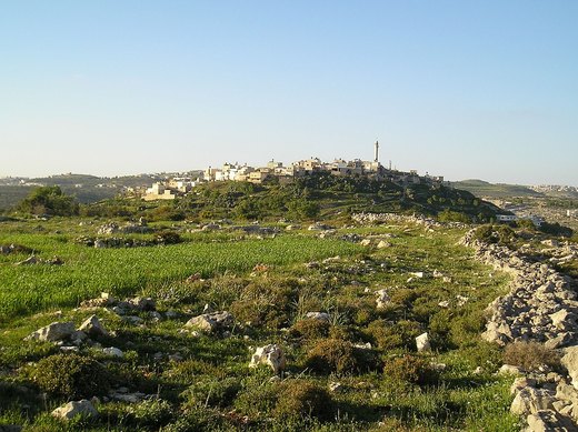
A village 20 km south-west of Jenin at 390 m on 4,768 dunams, separated administratively from Kafr Ra'i in 2016.
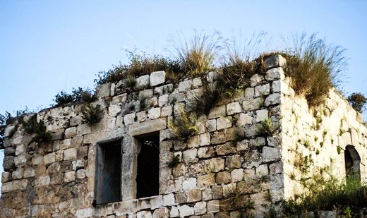
A village 16.5 km south-west of Jenin at 415 m with rock-cut tombs, and 1,006 residents in 2017.
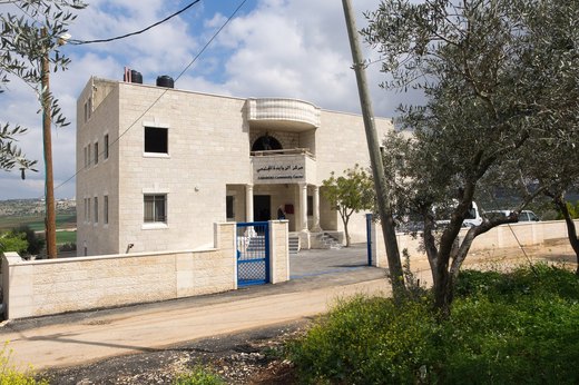
A town 15 km south-east of Jenin at 365 m, where Christians form 76 percent of residents, on 5,719 dunams.
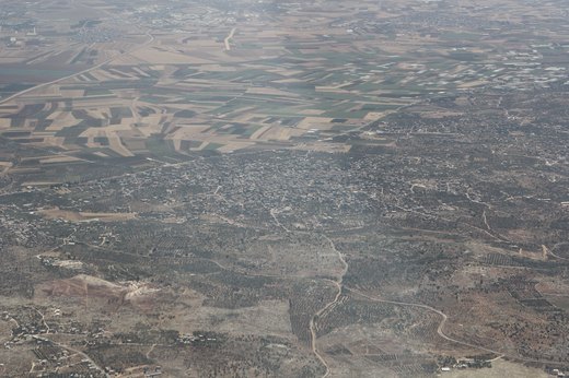
A town 8 km west of Jenin at 150 metres above sea level, with 11,449 residents in the 2017 census, known for its olive groves and trade.
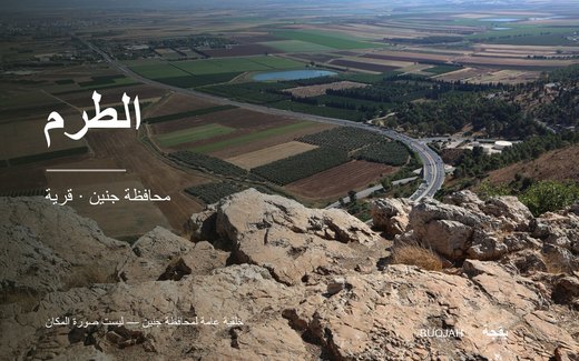
خربة الطرم أو الطرم هي قرية فلسطينية في محافظة جنين شمالي الضفة الغربية. تقع على مرتفع من أراضي يعبد غربي مدينة جنين، وتبعد عنها نحو 9.3 كيلومتر، ويبلغ ارتفاعها نحو 400 متر فوق مستوى سطح الب
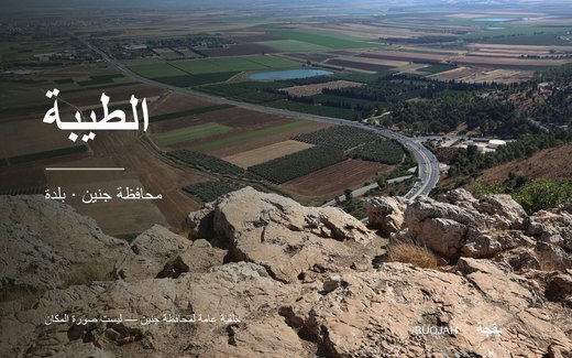
الطيبة هي قرية فلسطينية تابعة لمحافظة جنين في الضفة الغربية وتبعد حوالي 17 كم، بارتفاع يتراوح بين 180- 380 م عن مستوى سطح البحر. تبلغ مساحة أراضي قرية الطيبة حوالي 4000 دونم.
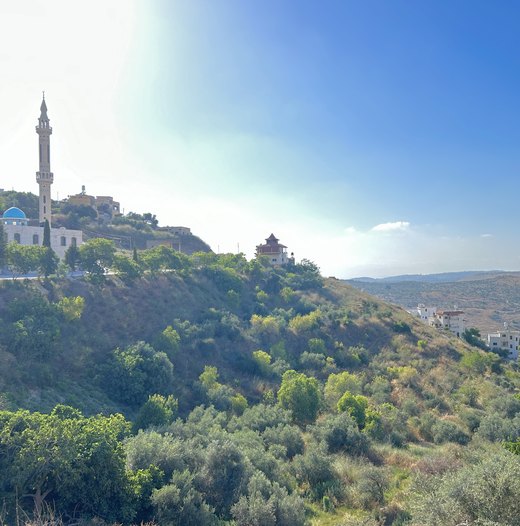
Al-Attara (Arabic: العطارة) is a Palestinian village in the Jenin Governorate of Palestine, in the northwestern area of the West Bank, located 15 kilometers southwest of Jenin.
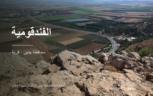
Fandaqumiya, (Arabic: الفندقومية, al-Fandaqumiyah, Pentakomia) is a Palestinian village located in the Jenin Governorate of the northern West Bank, northwest of Nablus.

Fifteen kilometres from Jenin and three from Seer, al-Kafir stands 426 metres above sea level on 4,315 dunums; its people once drank rainwater stored in private cisterns.
Al-Mughayyir, also spelled al-Mughaiyir (Arabic: المُغير) is a Palestinian village in the Jenin Governorate in the northern West Bank, located 12 km southeast of the city of Jenin.
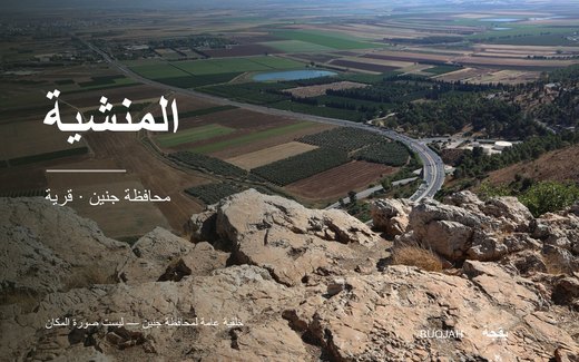
Al-Manshiyya (Arabic: المنشية) is a village in the West Bank governorate of Jenin, Palestine.
A village on a hill 415 metres above sea level, 13 km south of Jenin, with 220 residents in 2017 whose roots go back to the Sawarka tribe.

A village west of Jenin formerly known as al-Barid and renamed al-Hashimiyya under Jordanian rule, with 2,721 dunums of land and a spring used for drinking and irrigation.
A town 9 km west of Jenin at 159 m, spreading over 20,400 dunams, with 16,383 residents in the 2007 census.
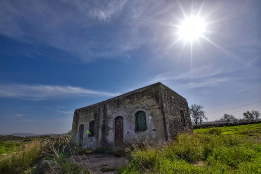
Umm al-Tut (Arabic: ام التوت, romanized: ām al-tūt, literally "Mulberries Place") is a Palestinian village 6 km southeast of the city of Jenin in the northern West Bank.
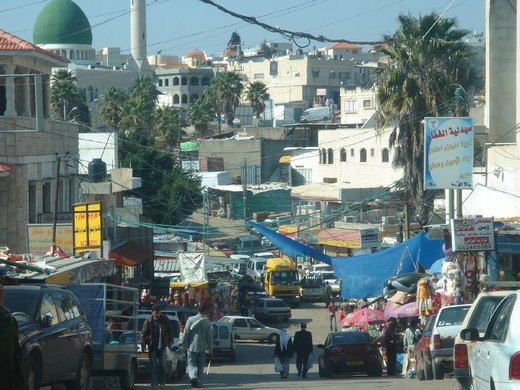
An Arab village split in 1949 into Barta'a al-Gharbiyya inside Israel and Barta'a al-Sharqiyya in the West Bank, the eastern half run by a Palestinian village council.
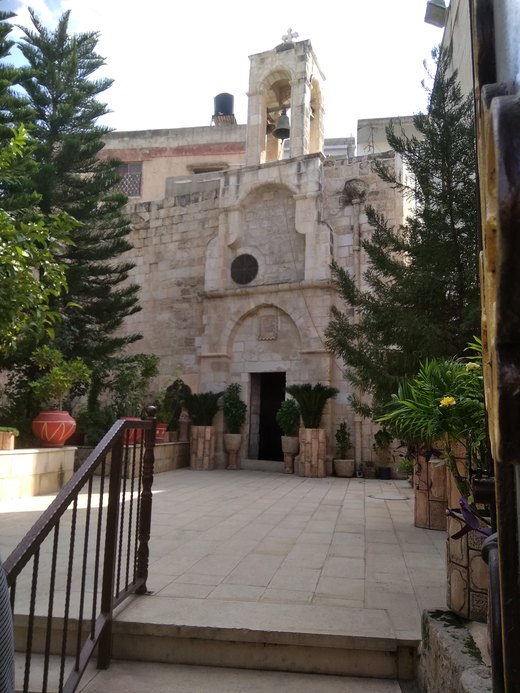
A town 4 km west of Jenin with the Byzantine Burqin (St George) church, one of the oldest in the world; named Buraqina in the Amarna letters.
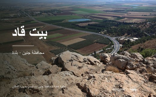
Beit Qad (Arabic: بيت قاد) is a Palestinian rural village in the West Bank governorate of Jenin.
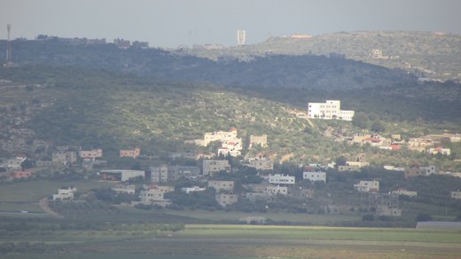
Bir al-Basha (Arabic: بئر الباشا) is a Palestinian village in the West Bank, located 15 km southwest of the city of Jenin in the northern West Bank.
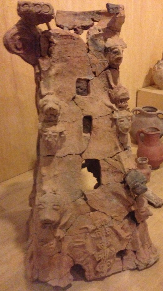
Ti'inik, also transliterated Ti’innik (Arabic: تعنّك), or Ta'anakh/Taanach (Hebrew: תַּעְנַךְ), is a Palestinian village, located 13 km northwest of the city of Jenin in the northe
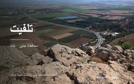
تلفيت قرية فلسطينية تقع في محافظة جنين شمال الضفة الغربية، وتبعد عن مدينة جنين حوالي 15.5 كم. بلغ تعداد سكان القرية عام 2007 حسب الجهاز المركزي للإحصاء الفلسطيني 238 نسمة. يقع مقر الجامعة ال
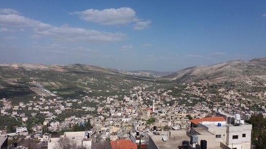
A town on the main Jenin–Nablus road, known for olives, figs and pottery; its Aramaic name means the high hill.
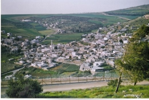
A village 12 km east of Jenin known for grain and pulses; about 8,000 dunams, mostly olive land, were taken from it. 2,813 residents in 2017.
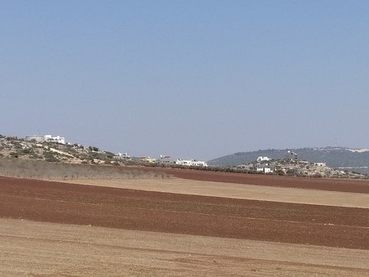
Jalqamus (Arabic: جلقموس) is a Palestinian village in the West Bank, located 10 km southeast of the city of Jenin in the northern West Bank.
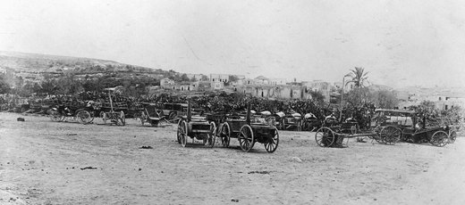
The capital of the Jenin governorate and its largest city, overlooking the Jordan Valley and Marj Ibn Amer; known in antiquity as Ein Ganim, the gardens.

A hamlet 24 km south-east of Jenin at about 500 metres above sea level, tied to the rain-fed farming settlement that shaped the Marj Ibn Amer countryside.

An archaeological village north of Jenin, attached to the city municipality, with the remains of a tower, foundations, walls, cisterns, caves and tombs.

A village east of Jenin along Marj Ibn Amer, named after Muhammad al-Da'if who came from Hebron some 400 years ago, and now home to about 6,000 people.
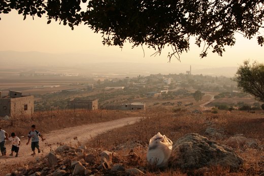
A village in Jenin governorate overlooking Marj Ibn Amer, with three mosques, two schools and a health clinic, and some 5,000 dunums under cultivation.
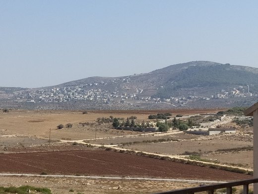
قرية رابا هي قرية فلسطينية في محافظة جنين تقع على سفح "جبل السالمة أو جبل ابزيق" بين مدينتي جنين وطوباس وتطل على غور الأردن. تقع رابا إلى الجنوب الشرقي من مدينة جنين، وتبعد عنها 19كم. تشتهر
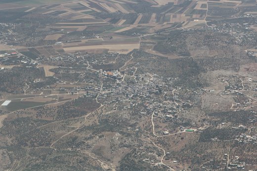
Rummanah (Arabic: رمّانه) is a Palestinian village in the Jenin Governorate of Palestine, located 17 kilometers (11 mi) northwest of the city of Jenin in the northern West Bank.
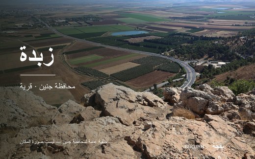

Fourteen kilometres north-west of Jenin, Zububa takes its name from a Canaanite word for flies and preserves the ruins of an old quarter, rock-cut cisterns and caves.
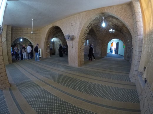
A village south of Jenin at 400–450 m, with 7,500 of its dunams planted with olives and 6,020 residents in 2017.
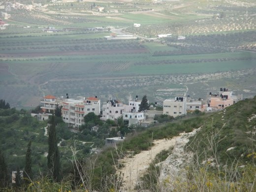
A town 22 km south-west of Jenin at 400 m, home to the area's level-2 health centre and five schools, with 7,406 residents in 2017.
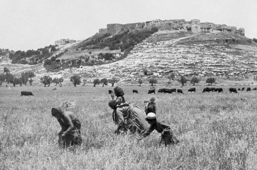
A town at 550 m south-east of Jenin, famous for its fortress walls and for Sanur plain, the third largest plain in Palestine at 15,000 dunams.
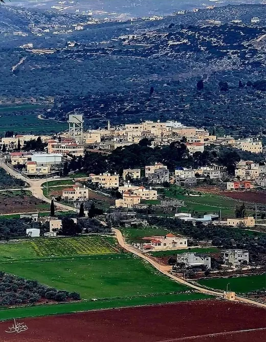
صير بكسر الصاد وسكون آخره، هي قرية فلسطينية قليلة المنازل كبيرة المساحة والأراضي في محافظة جنين، لُقِّبَت بـ«صير النعمانين» نسبةً إلى الشهيد نعمان محمود حسين إرشيد ونعمان عبد الرحمن حمدان إر
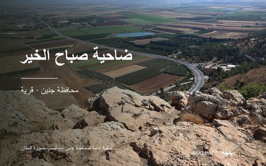
Dahiyat Sabah al-Kheir (Arabic: ضاحية صباح الخير) is a Palestinian village in the Jenin Governorate in the northern West Bank, located 4 kilometers north of Jenin.
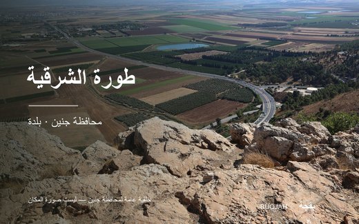
طورة الشرقية قرية فلسطينية من قرى شمال الضفة الغربية في محافظة جنين. تقع إلى الغرب من مدينة جنين بنحو 19 كم، وهي من القرى التي وقعت تحت الاحتلال الإسرائيلي في عام 1967. تشترك مع قرية طورة ال
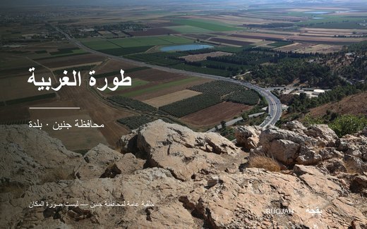
طورة الغربية قرية فلسطينية تقع إلى الغرب من مدينة جنين وتبعد عنها حوالي 25كم وإلى الشمال من بلدة يعبد وتتبع إدارياً لمجلسها القروي الموحد للغربي والشرقي، فلم يعد هناك قريتين شرقية وغربيه كما
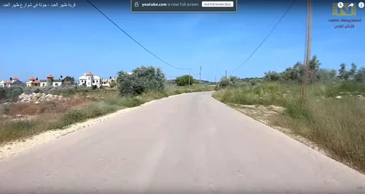
ظهر العبد هي قرية فلسطينية، من قرى محافظة جنين، تقع إلى الغرب من مدينة جنين. وهي من القرى التي احتلتها إسرائيل خلال حرب 1967. تُدار بواسطة مجلس قروي ظهر العبد.
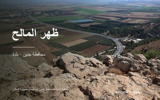
ظهر المالح، قرية فلسطينيه تقع غرب مدينة جنين، وتبعد عنها حوالي 25 كيلومترا، وترتفع القرية عن سطح البحر حوالي الـ 430 مترا. يخترق حدودها جدار الفصل العنصري الذي بنته سلطات الاحتلال الإسرائيلي
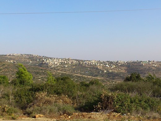
A town west of Jenin whose name comes from the Syriac 'Anim, meaning springs of water, with 4,216 residents in 2017.
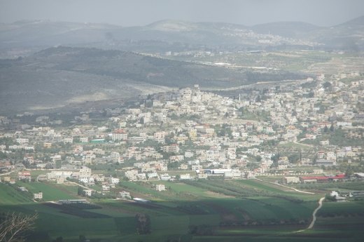
A village 19 km south-west of Jenin at 400 m, covering 11,027 dunams, with 6,162 residents in 2017.
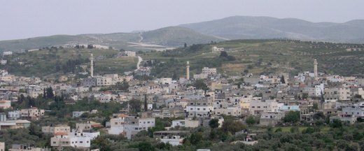
A town 12 km south-west of Jenin, at about 400 m above sea level, with 11,479 residents in the 2017 census.
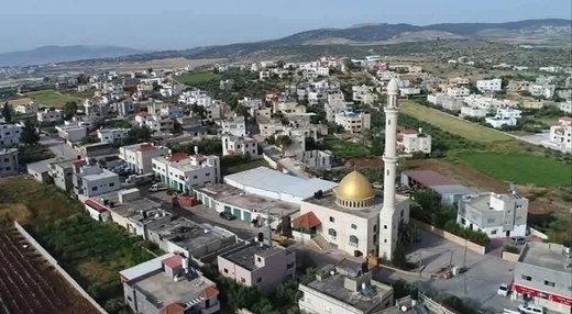
عرانة قرية فلسطينية من قرى محافظة جنين في شمال الضفة الغربية. تقع إلى الشمال الشرقي من مدينة جنين، على مقربة من سهل مرج ابن عامر، وتُعد من القرى التي احتلتها إسرائيل في حرب 1967.

A small rural community south-east of Jenin, named after a Bedouin family that settled there in the late Ottoman period and surrounded by farmland and the Suwaytat woods.
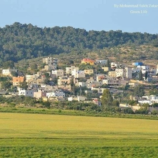
A village 9 km north of Jenin where Upper and Middle Palaeolithic flint tools were found south of it, along with Byzantine remains; 1,025 residents in 2017.
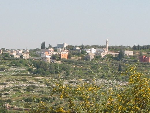
Twelve kilometres west of Jenin and 280 metres above sea level on 5,675 dunums, Araqa was founded in the 18th century and is linked to the Abd al-Hadi family.
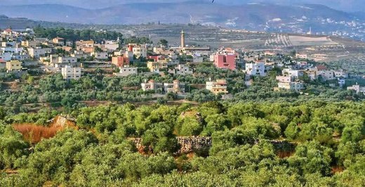
Anzah or 'Anza (Arabic: عنزة) is a Palestinian village in the located 18 km southwest of the city of Jenin in the northern West Bank.
Fahma (Arabic: فحمة) is a Palestinian town in the Jenin Governorate of the State of Palestine in the western area of the West Bank, located 15 kilometers southwest of Jenin.
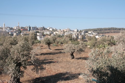
A village on the Gilboa ridge near the Green Line, known for prickly pear cactus, with 4,410 residents in 2017.
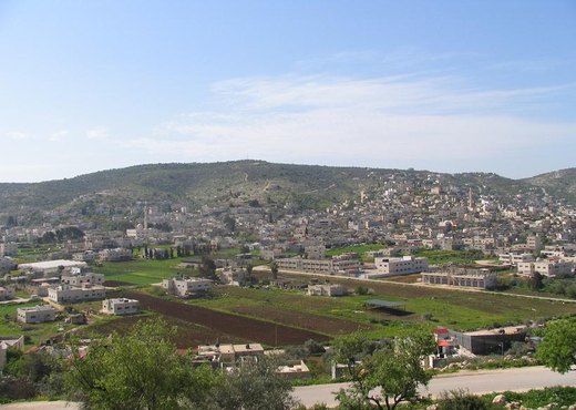
One of the largest communities in Jenin governorate, 6 km from the city, with 50,547 dunams, famous for olive groves, modern farming and stone.
A town 4 km north-west of Jenin at 160 m whose name means farmland, with 6,591 residents in 2017.
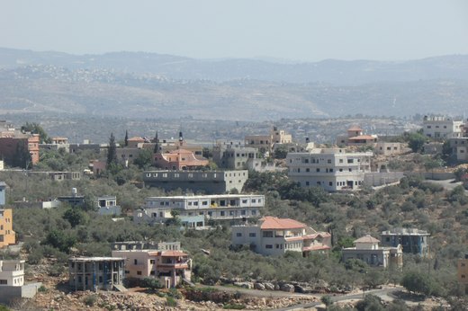
A town 22 km south-west of Jenin and north-east of Tulkarm, with 7,364 residents in 2007 and 8,471 in 2017.
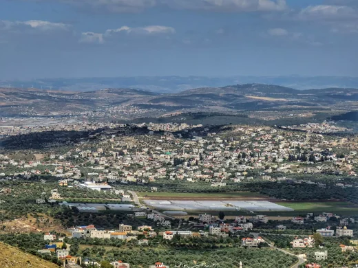
Kafr Qud (Arabic: كفر قود, also spelled Kafr Qad) is a Palestinian village in the Jenin Governorate in the northern West Bank, located west of Jenin.
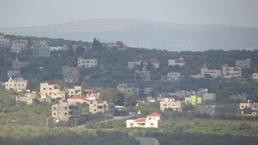
كفيرت هي قرية فلسطينية في الضفة الغربية، تقع على بعد 16كم غرب مدينة جنين شمال الضفة الغربية. وفقًا للجهاز المركزي للإحصاء الفلسطيني، بلغ عدد سكان البلدة 2446 نسمة في منتصف عام 2006 و3068 نسم
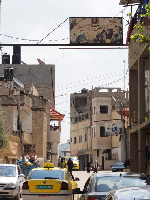
A refugee camp founded in 1953 west of Jenin on the edge of Marj Ibn Amer, on 372 dunams later expanded to 473, and the second largest camp in the West Bank.
A village 12 km south-west of Jenin at 380 m on 4,396 dunams; its name is said to derive from 'Ma'irka', the refuge, and it had 2,203 residents in 2017.
A village in south-east Jenin governorate overlooking Sanur plain, known for olives, grapes and almonds, with Roman and Islamic remains.
A town 26 km south of Jenin on 12,495 dunams, with four mosques, six schools, a bank and cultural centres, and 8,321 residents in 2017.
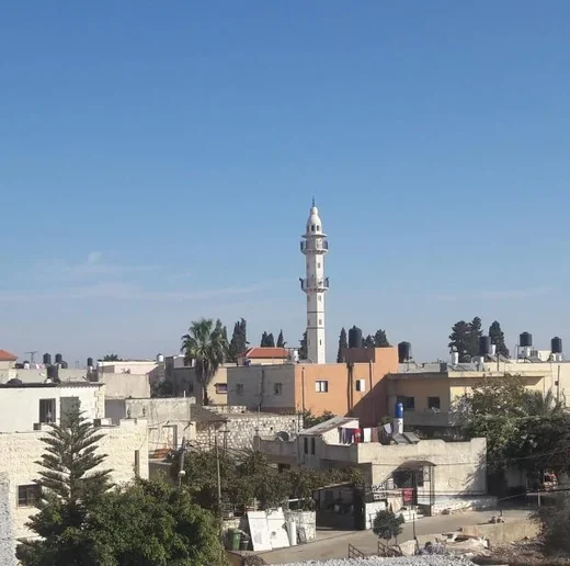
Nazlet Zeid (Arabic: خربة نزلة زيد; also known as Nazlat ash-Sheikh Zeid) is a Palestinian village in the northern West Bank, administratively part of the Jenin Governorate.
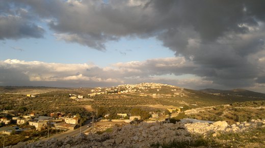
A town in Jenin governorate on the main road between Tulkarm and Jenin, 18 km from Jenin, with a farming economy of olives and grain.

Iktaba (Arabic: إكتابا) is a Palestinian town located four kilometers Northeast of the city of Tulkarm in the Tulkarm Governorate in the northern West Bank.

al-Jarushiya (Arabic: الجاروشية) is a Palestinian village in the Tulkarm Governorate in the western West Bank, located 6 kilometers North of Tulkarm.

al-Ras (Arabic: الراس) is a Palestinian village in the Tulkarm Governorate in the eastern West Bank, located 7 kilometers South-east of Tulkarm.
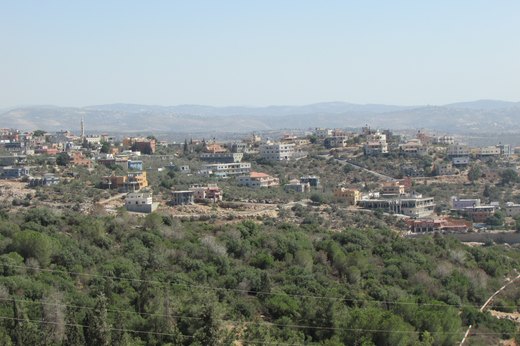
An-Nazla ash-Sharqiya (Arabic: النزلة الشرقية) is a Palestinian village in the Tulkarm Governorate in the eastern West Bank, located 18 kilometers North-east of Tulkarm.

An-Nazla al-Gharbiya (Arabic: النزلة الغربية) is a Palestinian village in the Tulkarm Governorate in the eastern West Bank, located 16 kilometers North of Tulkarm.

An-Nazla al-Wusta (Arabic: النزلة الوسطى) is a Palestinian village in the Tulkarm Governorate in the eastern West Bank, located 17 kilometers North-east of Tulkarm.

Baqa ash-Sharqiyya (Arabic: باقة الشرقية) is a Palestinian town in the northern West Bank, located 16 kilometers (9.9 mi) northeast of Tulkarm in the Tulkarm Governorate.
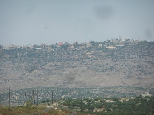
Bal'a (Arabic: بلعا) is a Palestinian town in the Tulkarm Governorate, located approximately nine kilometers northeast of Tulkarm in the northern West Bank and three kilometers away from the highway…
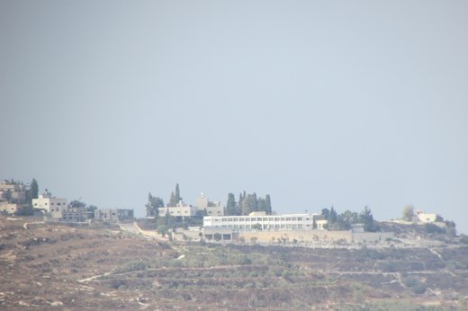
Beit Lid (Arabic: بيت ليد) is a Palestinian town in the Tulkarm Governorate in the northeastern West Bank, located a 10 kilometers southeast of Tulkarm and west of Nablus.

جبارة هي قرية فلسطينية، تقع جنوب مدينة طولكرم على بعد 6 كم، داخل الجدار الفاصل، ويبلغ عدد سكان القرية نحو 300 نسمة، حيث يعود أصول سكان القرية بالأصل (85% إلى قرية الراس المجاورة، 15% إلى مدينة الطيبة المحتلة منذ عام 1948)، ويقدر عمر القرية…

Deir al-Ghusun (Arabic: دير الغصون) is a Palestinian town in the Tulkarm Governorate, located eight kilometers northeast of the city of Tulkarm in the northern West Bank, Palestine.
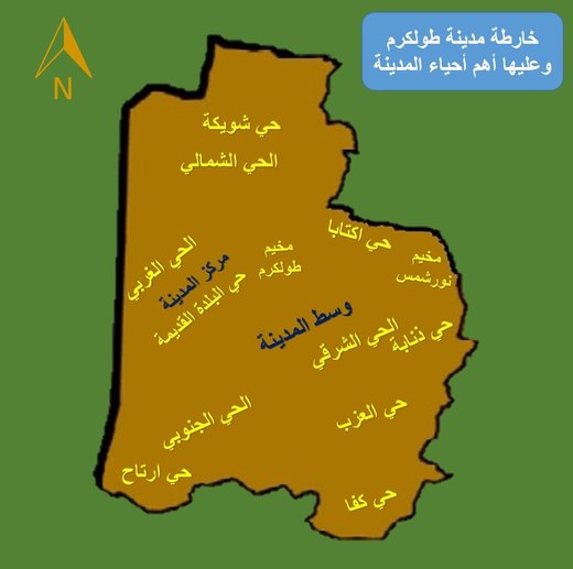
حي ذنابة؛ هو أحد أحياء مدينة طولكرم، يقع الحي في قلب المدينة وتحديدًا في الجهة الشرقية من المدينة، وتعمل بلدية طولكرم على تطوير الحي في كافة المجالات.
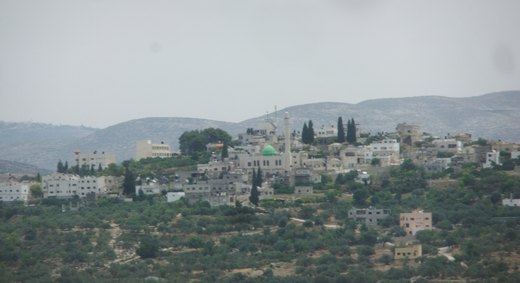
Ramin (Arabic: رامين) is a Palestinian village in the northeastern West Bank, located 15 kilometers east of Tulkarm in the Tulkarm Governorate of the State of Palestine.
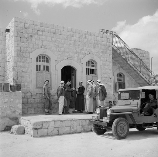
Zeita (Arabic: زيتا), also known historically as Zeita al-Sha'rawiyya (زيتا الشعراوية), is a Palestinian town in the Tulkarm Governorate of the State of Palestine, in the western West Bank, located…
Saffarin (Arabic: سفارين) is a Palestinian village in the western West Bank, in the Tulkarm Governorate of the State of Palestine, located 11 kilometers South-east of Tulkarm.
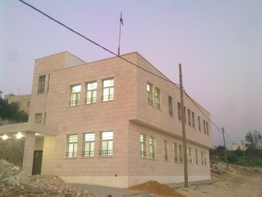
Shufa (Arabic: شوفه) is a Palestinian village in the Tulkarm Governorate in the eastern West Bank, located 6 kilometers South-east of Tulkarm.
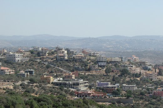
Seida (Arabic: صيدا) is a Palestinian town in the Tulkarm Governorate of the State of Palestine, in the eastern West Bank, located 20 kilometers northeast of Tulkarm.
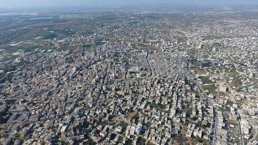
Roman grape presses whose remains still stand, a festival of Nabi Yaqub, and a proverb about kubsah.
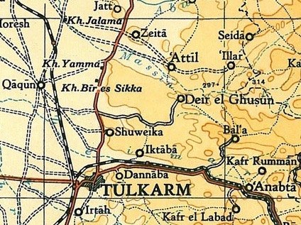
Attil (Arabic: عتيل) is a Palestinian town in the Tulkarm Governorate in the eastern West Bank, 12 km (7.5 mi) northeast of Tulkarm.

Izbat Shufa (Arabic: عزبة شوفة) is a Palestinian town in the Tulkarm Governorate in the eastern West Bank, located Southeast of Tulkarm.

عَكَّابَة، وتكتب أيضًا عكابا، هي قرية فلسطينية صغيرة تقع في أقصى شمال محافظة طولكرم في شمال الضفة الغربية. تبعد عن مدينة طولكرم نحو 15 كيلومترًا مسافةً هوائية، وتُعد من أصغر قرى محافظة طولكرم من حيث المساحة وعدد السكان.
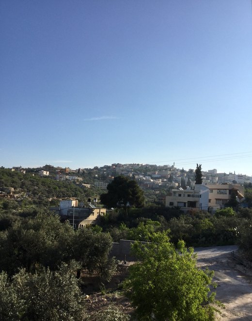
'Illar (Arabic: عِلار) is a Palestinian town in the Tulkarm Governorate in the northern West Bank, located 10 kilometers northeast of Tulkarm, and 25 kilometers east of the Israeli city of Netanya.
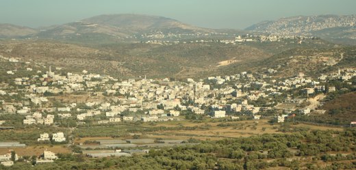
'Anabta or 'Anebta (Arabic: عنبتا) is a Palestinian town in the Tulkarm Governorate in the northern West Bank, located 9 kilometers east of Tulkarm.
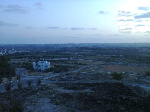
Far'un (Arabic: فرعون) is a Palestinian town in the Tulkarm Governorate in the northwestern West Bank, located four kilometers south of Tulkarm near the border with Israel.
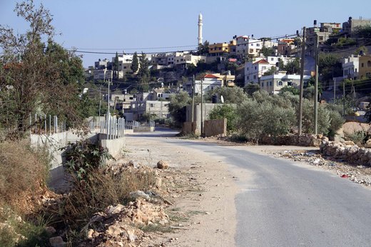
Qaffin (Arabic: قفّين) is a Palestinian town located 22 kilometers (14 mi) northeast of Tulkarm in the Tulkarm Governorate in the northwestern West Bank. The town is an agricultural town.

كفا حي سكني من أحياء مدينة طولكرم، يقع الحي في قلب المدينة وتحديدًا في الجهة الجنوبية من المدينة. تتميز المنطقة بالطبيعة الجبلية الخضراء وبالهدوء.
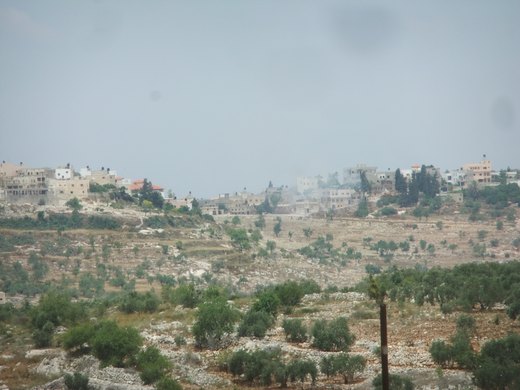
Kafr al-Labad (Arabic: كفراللبد) is a Palestinian village in the Tulkarm Governorate in the northeastern West Bank, located 9 kilometers east of Tulkarm and two kilometers south of Anabta.
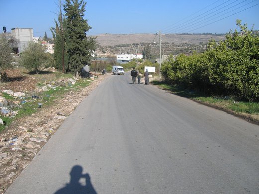
Kafr Jammal (Arabic: كفر جمّال), is a town in the Tulkarm Governorate in the western edge of the West Bank, Palestine.
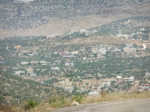
Kafr Rumman (Arabic: كفر رمّان) is a Palestinian town in the Tulkarm Governorate in the eastern West Bank, located 11 kilometers East of Tulkarm.
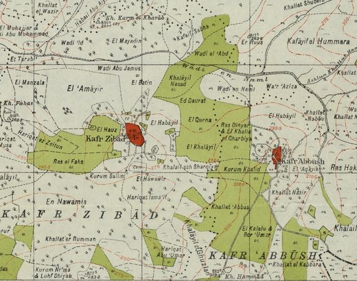
Kafr Zibad (Arabic: كفر زيباد) is a Palestinian village in the Tulkarm Governorate in the western part of the West Bank, located 17 kilometers south of Tulkarm.
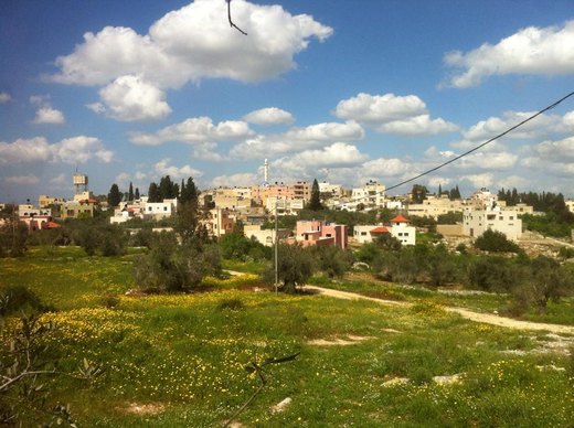
Kafr Sur (Arabic: كفر صور) is a Palestinian town in the Tulkarm Governorate in the eastern West Bank, located 12 kilometers Southeast of Tulkarm.
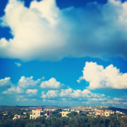
Kafr 'Abbush (Arabic: كفر عبّوش) is a Palestinian town in the Tulkarm Governorate in the northwestern West Bank.
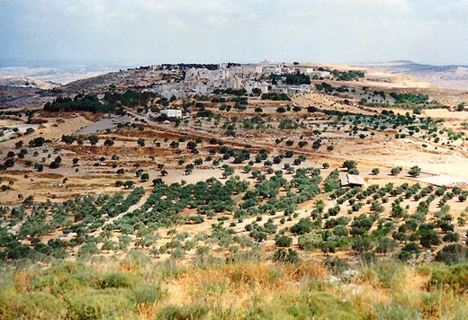
Kur (Arabic: كور) is a Palestinian village in the Tulkarm Governorate of the State of Palestine, in the northeastern West Bank, located 19 kilometers southeast of Tulkarm.
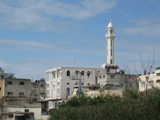
Tulkarm Camp (Arabic: مخيم طولكرم, romanized: Mukhayyam Ṭūlkarm) is a Palestinian refugee camp north of the West Bank in the city of Tulkarm, established in 1950 on 0.18 km2 by the UNRWA.
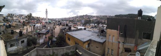
Nur Shams (Arabic: مخيّم نور شمس) is a Palestinian refugee camp in the Tulkarm Governorate in the northwestern West Bank, located three kilometres (1.9 mi) east of Tulkarm.

نزلة أبو النار قرية من قرى الضفة الغربية وتتبع محافظة طولكرم، ومن القرى التي وقعت في حرب 1967.
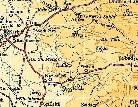
Nazlat 'Isa (Arabic: نزلة عيسى) is a Palestinian village in the Tulkarm Governorate in the western West Bank, located 17 kilometres (11 mi) North of Tulkarm.
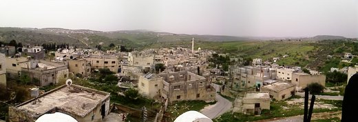
Immatin (Arabic: إماتين), sometimes spelled Immatain, is a Palestinian village located in the northwestern West Bank, in the Qalqilya Governorate of the State of Palestine, about seventeen kilometers…

مغارة الضبعة قرية فلسطينية من قرى الضفة الغربية وتقع شمال شرق محافظة قلقيلية، وعلى مسافة 4.8 كم، على ارتفاع 100 م عن مستوى سطح البحر. هي من القرى التي وقعت تحت الاحتلال الإسرائيلي في حرب 1967.
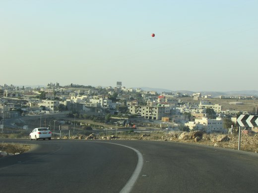
Al-Funduq (Arabic: الفندق) is a Palestinian village in the Qalqilya Governorate of the State of Palestine, in the northeastern West Bank, located east of Qalqilya.

عزبة المدور هي قرية فلسطينية من قرى الضفة الغربية وتتبع قلقيلية محافظة قلقيلية، ومن القرى التي وقعت تحت الاحتلال الإسرائيلي في حرب 1967.
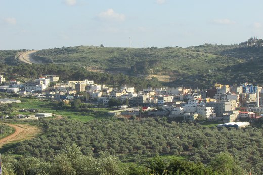
Nabi Ilyas (Arabic: قرية النبي الياس) is a Palestinian village in the Qalqilya Governorate of the Palestine, in the western West Bank, located two kilometers east of Qalqilya.
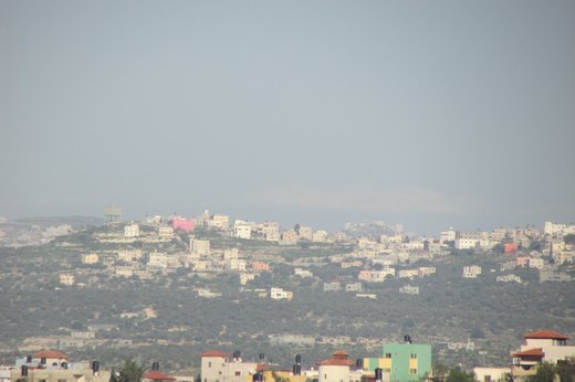
Baqat al-Hatab (Arabic: باقة الحطب) is a village in the Qalqilya Governorate, Palestine in the western area of the West Bank, located 20 kilometers southwest of Nablus.

Beit Amin (Arabic: بيت أمين) is a Palestinian village in the Qalqilya Governorate in the western West Bank, located south of Qalqilya.
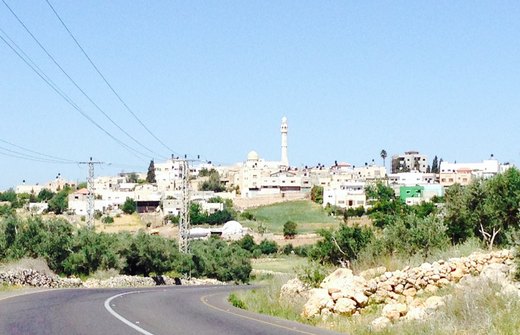
Jinsafut (Arabic: جينصافوط, Jinṣāfūṭ) is a Palestinian village in the Qalqilya Governorate of the State of Palestine, in the northeastern West Bank, located east of Qalqilya.
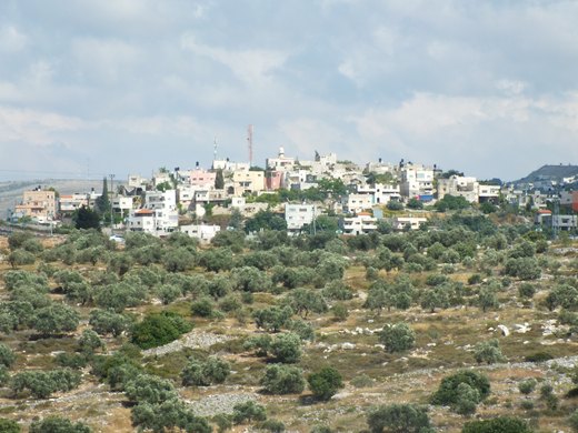
Jit (Arabic: جيت, romanized: Jīt) is a Palestinian town in the northern West Bank, located 10 kilometers (6.2 mi) west of Nablus.
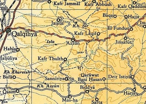
Jayyus (Arabic: جيوس) is a Palestinian village near the west border of the West Bank, close to Qalqilya. It is a farming community.
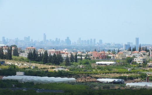
Hableh (Arabic: حبله, also transliterated Hable, Habla, Hablah, Hibla, Hiblah) is a Palestinian village located in the Qalqilya Governorate of the State of Palestine, in the northwestern West Bank.
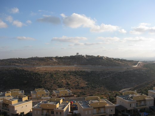
راس طيرة قرية فلسطينية من قرى الضفة الغربية وتتبع محافظة قلقيلية، ومن القرى التي وقعت تحت الاحتلال الإسرائيلي في حرب 1967.
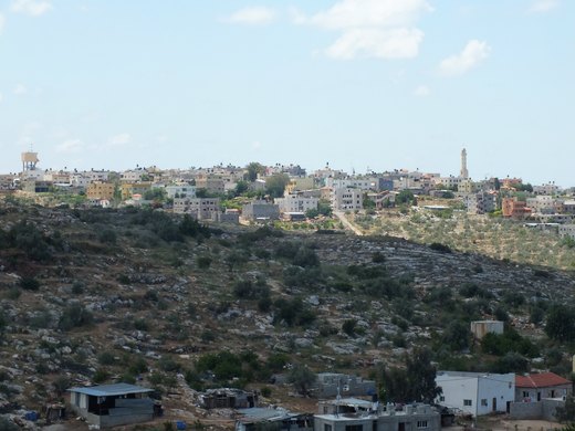
Ras Atiya (Arabic: رأس عطيّه; Hebrew: ראס עטיה) is a Palestinian town in the Qalqilya Governorate in the western area of the West Bank, located 27 km south of Tulkarm and 11 km south of Qalqiliya.
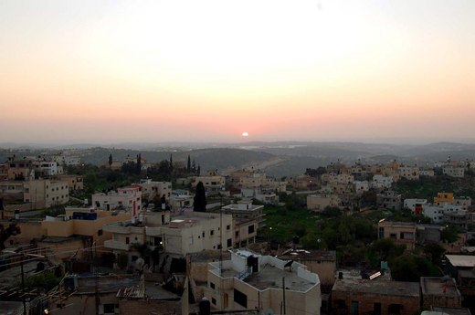
Sanniriya (Arabic: سنّيريّه) is a Palestinian town in the Qalqilya Governorate in the western area of the West Bank, south of Qalqilya and 36 kilometers (22 mi) southwest of Nablus.

عرب الرماضين الجنوبي قرية من قرى الضفة الغربية وتتبع محافظة قلقيلية، ومن القرى التي وقعت في حرب 1967.عدد سكانها 300 نسمة، اقيمت بعد عام 1948 وجميع سكانها من الاجئين وهي تقع حاليا داخل جدار الفصل العنصري.

عرب الرماضين الشمالي قرية من قرى الضفة الغربية وتتبع محافظة قلقيلية، ومن القرى التي وقعت في حرب 1967.

عزبة الطبيب قرية من قرى الضفة الغربية وتتبع محافظة قلقيلية، ومن القرى التي وقعت في حرب 1967. ويكون السيد حمد عبد الله الطبيب (رحمه الله) هو المؤسس الحقيقي لعزبة الطبيب.

عزبة جلعود قرية فلسطينية من قرى الضفة الغربية وتتبع محافظة قلقيلية، ومن القرى التي وقعت تحت الاحتلال الإسرائيلي في حرب 1967.

عزبة سلمان قرية فلسطينية من قرى الضفة الغربية وتتبع محافظة قلقيلية، ومن القرى التي وقعت تحت الاحتلال الإسرائيلي في حرب 1967.
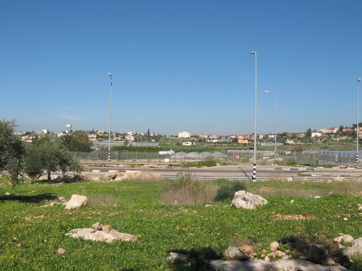
'Azzun 'Atma (Arabic: عزون عتمة) is a Palestinian village in the Qalqilya Governorate in the western West Bank, located 5 kilometers South-east of Qalqilya.
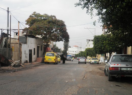
Azzun (also spelled Azzoun) (عزّون, from the root word عز ′izz which means honor or esteem) is a Palestinian town in Qalqilya Governorate in the northern West Bank, located 9 kilometers east of…
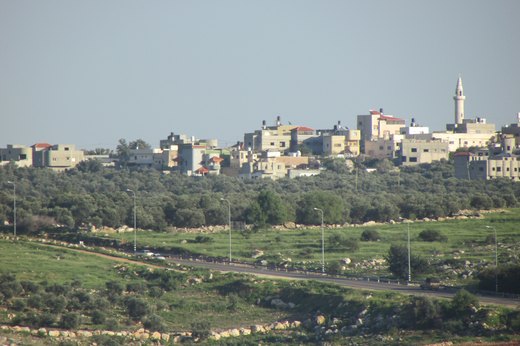
عسلة، وتُعرف أيضاً باسم خربة عسلة، هي قرية فلسطينية في محافظة قلقيلية شمالي الضفة الغربية. تقع إلى الشرق من مدينة قلقيلية، وإلى الغرب من بلدة عزون، وتُعد من التجمعات الريفية الصغيرة في المحافظة.
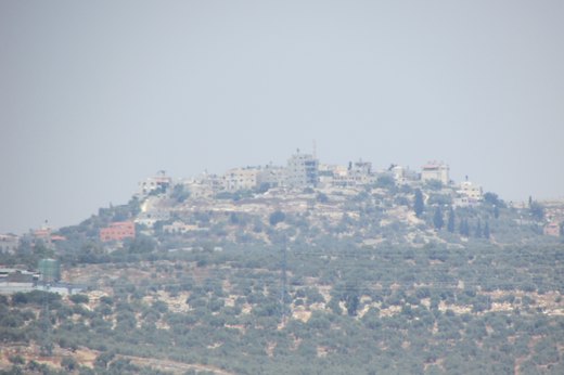
Far'ata (Arabic: فرعتا) was a Palestinian village in the Qalqilya Governorate in the Western area of the West Bank, located 16 kilometers southwest of Nablus.
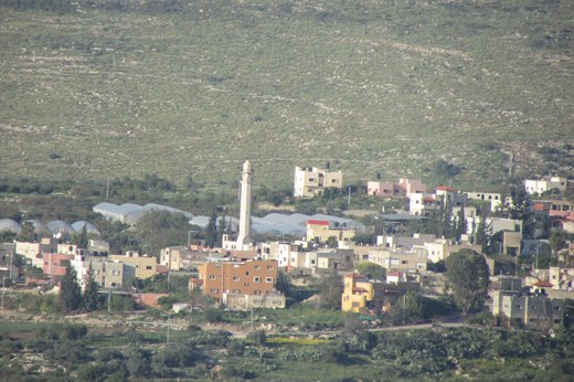
فلاميه هي قرية فلسطينية تبعد 5 كم من الشمال الشرقي لمدبنة قلقيلية و 1.5 كم شرق الخط الأخضر (خط الهدنة 1949).
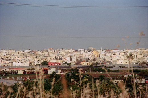
Olive oil, soap, glass, stone and marble — and markets that make Qalqilya a stop for shoppers.
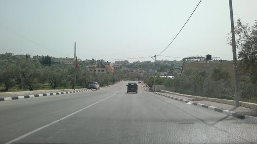
Kafr Thulth (Arabic: كفر ثلث) is a Palestinian town located on high, flat land south of Azzoun, 28 kilometers (17 mi) south of Tulkarm in the Qalqilya Governorate.
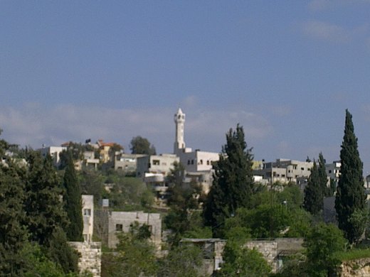
Kafr Qaddum (Arabic: كفر قدّوم) is a Palestinian town in the northern West Bank, located 13 kilometers west of Nablus and 17 kilometers east of Qalqilya in the Qalqilya Governorate.

Kafr Laqif (Arabic: كفر لاقف) is a Palestinian village in the Qalqilya Governorate in the western West Bank, located 22 kilometers southwest of Nablus.

واد الرشا قرية فلسطينية من قرى الضفة الغربية وتتبع محافظة قلقيلية، ومن القرى التي وقعت تحت الاحتلال الإسرائيلي في حرب 1967. تقع جنوب شرقي مدينة قلقيلية وعلى مسافة 3.4 كم عنها، بارتفاع لايزيد عن 100 م عن مستوى سطح البحر.
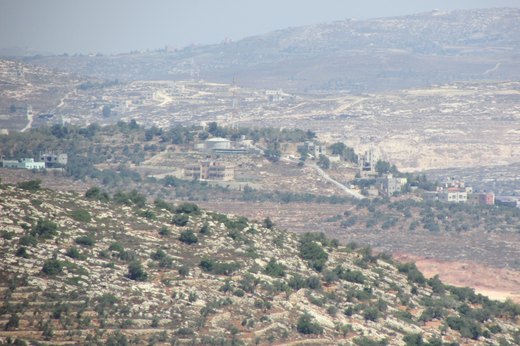
Iskaka (Arabic: إسكاكا) is a Palestinian town in the Salfit Governorate of the State of Palestine, in the northern West Bank, 27 kilometers southwest of Nablus.
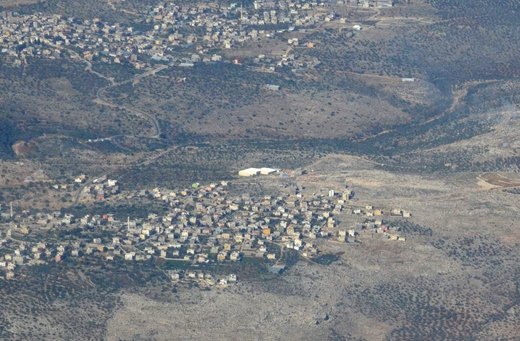
Az-Zawiya (Arabic: الزاويه) is a Palestinian town in the Salfit Governorate of the State of Palestine, in the northern West Bank, located west of Salfit and south of Qalqilya.
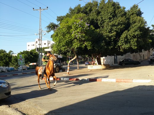
Biddya (Arabic: بديا) is a Palestinian city in the Salfit Governorate, located 32 kilometers southwest of Nablus and half that distance from Salfit in the northern West Bank.
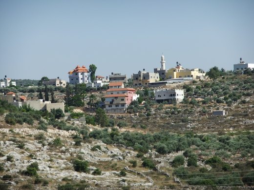
Bruqin (Arabic: إبروقين) is a Palestinian town 13 kilometers west of Salfit in the Salfit Governorate of the State of Palestine, in the northern West Bank, adjacent to the Israeli settlement of…
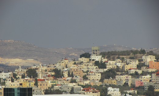
Haris (Arabic: حارس) is a Palestinian town in the Salfit Governorate of the State of Palestine, in the northern West Bank, 24 kilometers Southwest of Nablus.
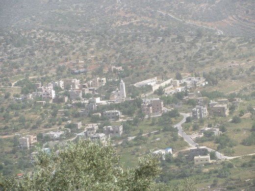
Khirbat Qais (Arabic: خربة قيس) is a Palestinian village in the Salfit Governorate in the northern West Bank. In 2010 it became a suburb of Salfit, about 4 km south of Salfit.
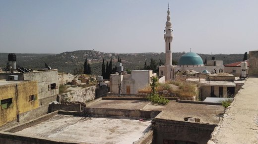
Deir Istiya (Arabic: دير إستيا) is a Palestinian town of 3,696 in the Salfit Governorate of the State of Palestine, in the northern West Bank, 15 kilometers (9.3 mi) southwest of Nablus.
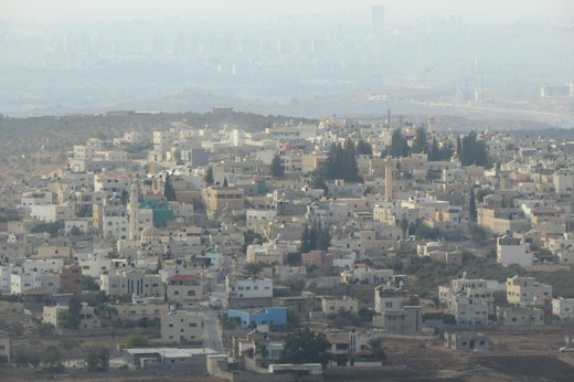
Deir Ballut (Arabic: دير بلّوط) is a Palestinian town in the Salfit Governorate in the northern West Bank, 41 kilometers (25 mi) south west of Nablus.
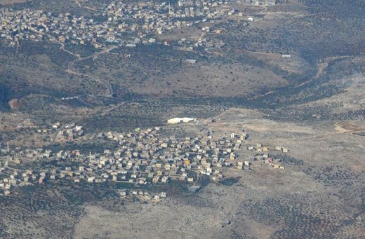
Rafat (Arabic: رافات) is a Palestinian town in the Salfit Governorate of the State of Palestine, in the northern West Bank, 38 kilometers southwest of Nablus.
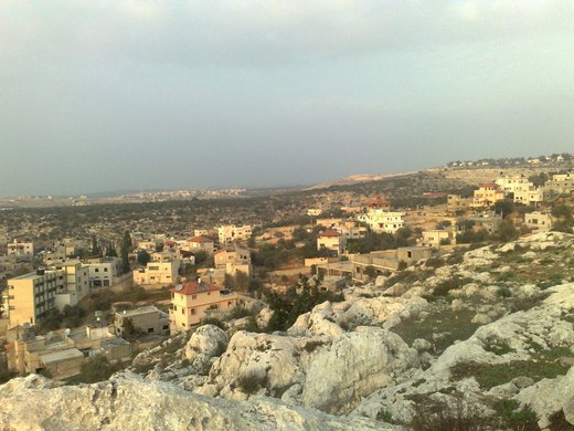
Sarta (Arabic: سرطه) is a Palestinian town in the Salfit Governorate in the northern West Bank, 22 kilometers southwest of Nablus.
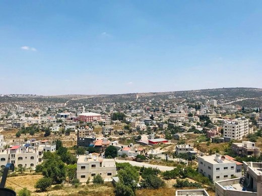
The district’s villages trade first with Nablus, then Salfit; its industrial zone rose east of town.
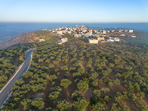
Farkha (Arabic: فرخة) is a Palestinian village in the Salfit Governorate in the northern West Bank, 30 kilometers south of Nablus.
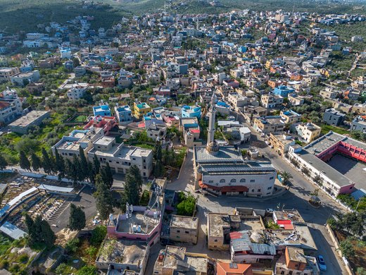
Qarawat Bani Hassan (Arabic: قراوة بني حسان) is a Palestinian town in the Salfit Governorate of the state of Palestine, 30 kilometers southwest of Nablus and 8 kilometers northwest of Salfit in the…
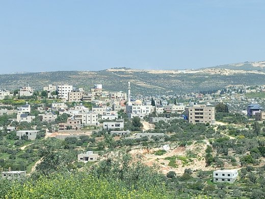
Qira (Arabic: قيرة) is a Palestinian town in the Salfit Governorate in the northern West Bank, 19 kilometers southwest of Nablus.
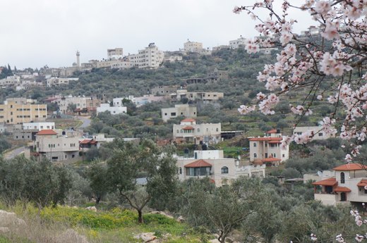
Kafr ad-Dik (Arabic: كفر الديك) is a Palestinian town located 9.5 kilometers west of Salfit in the Salfit Governorate of Palestine, in the northern West Bank.
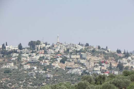
Kifl Haris (Arabic: كفل حارس) is a Palestinian village in the northern West Bank, located six kilometers west of Salfit and 18 kilometers south of Nablus, in Salfit Governorate, Palestine; it is…
Marda (Arabic: مرده) is a Palestinian town in the Salfit Governorate of the State of Palestine, in the northern West Bank, 18 kilometers southwest of Nablus.
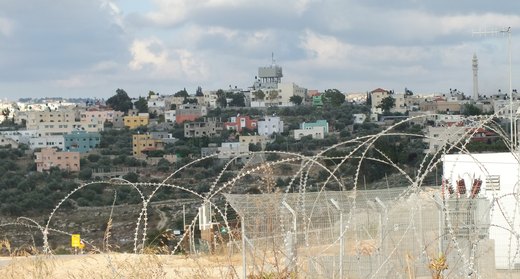
Mas-ha (Arabic: مسحة) is a Palestinian village in the Salfit Governorate in the northern West Bank, 24 kilometers southwest of Nablus.
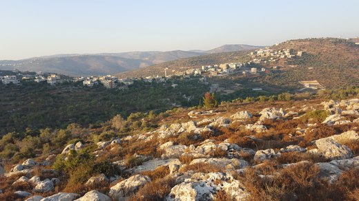
Yasuf (Arabic: ياسوف) is a Palestinian village in the Salfit Governorate of the State of Palestine, in the northern West Bank, northeast of Salfit, 37 kilometres (23 mi) southwest of Nablus and…
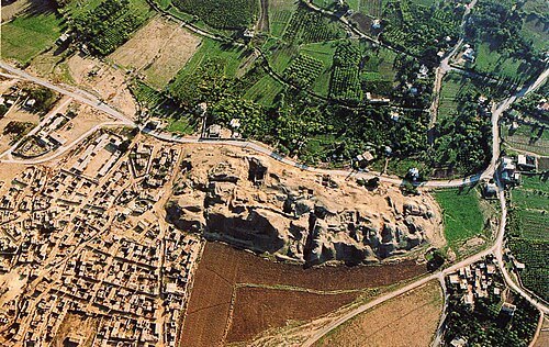
Eleven thousand years ago the first mud-brick wall rose at Tell es-Sultan — and the palms still tell the tale.
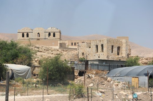
Al-Jiftlik (Arabic: الجفتلك) is a Palestinian village in the Jericho Governorate of the State of Palestine, in the West Bank, located 33 kilometers north of Jericho.

az-Zubaidat (Arabic: زبيدات) is a Palestinian village in the Jericho Governorate in the eastern West Bank situated in the Jordan Valley, located 27 kilometers north of Jericho.
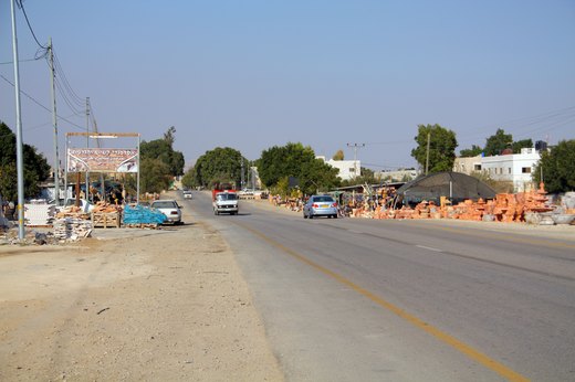
Al-Auja (Arabic: العوجا) is a Palestinian town in the Jericho Governorate of the State of Palestine, in the eastern West Bank, located ten kilometers north of Jericho.
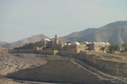
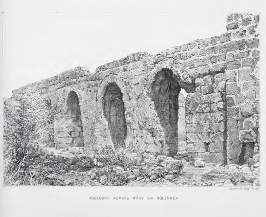
al-Nuway'imah (Arabic: النويعمه) is a Palestinian village in the Jericho Governorate in the eastern West Bank, located five kilometers north of Jericho.
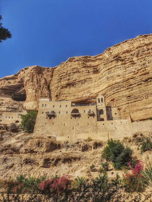
The Monastery of Saint George of Choziba (Arabic: دير القديس جورج, Greek: Μονή Αγίου Γεωργίου του Χοζεβίτου, lit.
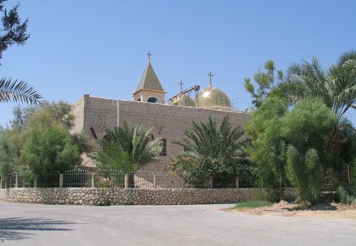
Deir Hajla (also spelled Deir Hijleh) or Qasr Hajla is the Arabic name of the Greek Orthodox Monastery of Saint Gerasimus (officially the Holy Monastery of Saint Gerasimos of the Jordan, Greek: Ιερά…
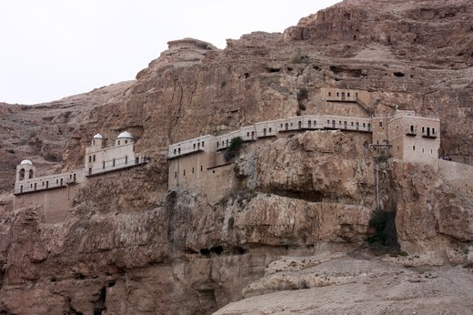
The Monastery of the Temptation (Greek: Μοναστήρι του Πειρασμού, Monastḗri tou Peirasmoú; Arabic: دير القرنطل, Deir al-Qurunṭul; Hebrew: דיר אל-קרנטל) is a Greek Orthodox monastery located in…

Ein ad-Duyuk at-Tahta (Arabic: عين الديوك التحتا), is a Palestinian village in the Jericho Governorate in the eastern West Bank situated in the Jordan Valley, located two kilometers west of Jericho.
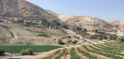
Ein ad-Duyuk al-Foqa (Arabic: عين الديوك الفوقا), also called Duyuk, is a Palestinian village in the Jericho Governorate in the eastern West Bank situated in the Jordan Valley, located 3 kilometers…
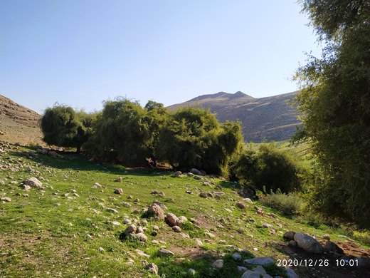
Fasayil or Fasa'il (Arabic: فصايل), ancient Phasaelis, is a Palestinian village in the northeastern West Bank, a part of the Jericho Governorate, located 14 kilometres (8.7 mi) northwest of Jericho…
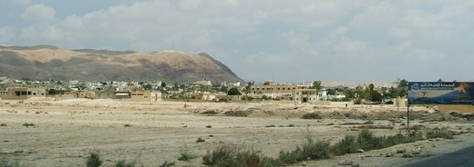
Aqabat Jaber (Arabic: مخيّم عقبة جبر) is a Palestinian refugee camp in the Jericho Governorate of the eastern West Bank, situated in the Jordan Valley, three kilometers southwest of Jericho.
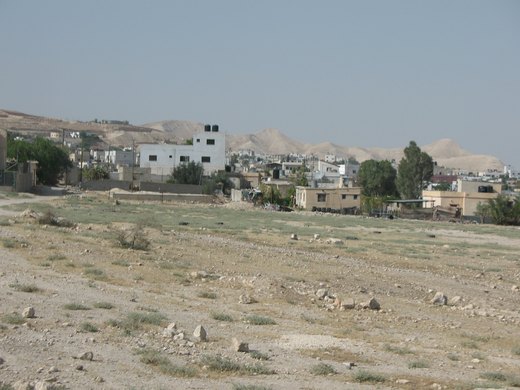

Marj Al-Ghazal (Arabic: مرج الغزال, Hebrew: מרג' אל-גזאל) is a Palestinian village in the Jericho Governorate in the West Bank, located 34.8 kilometers (21.6 mi) north of Jericho.

مرج نعجة (الإنجليزية: Marj Najah) قرية فلسطينية في محافظة أريحا شرق الضفة الغربية، يبلغ عدد سكانها حوالي 828 نسمة حسب التعداد العام للسكان عام 2017 ، وتبلغ مساحتها 4872 دونم.
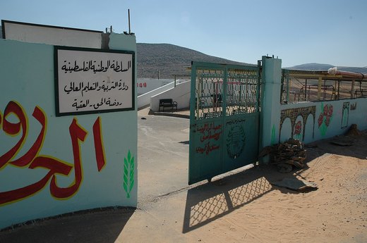
Aqabah (Arabic: العقبة, and also called Al Aqabah, Aqaba, or Al Aqaba) is a Palestinian village in the northeastern West Bank, which is being targeted for demolition by the Israeli
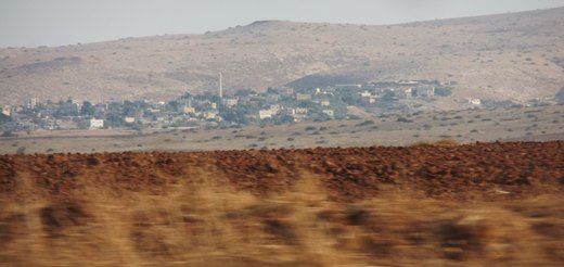
Bardala (Arabic: بردلة) is a Palestinian village in the northern Jordan Valley of the West Bank, consisting of 1,607 inhabitants.
Tayasir (Arabic: تياسير, also spelled Tiaseer) is a Palestinian village in the Tubas Governorate of the Palestinian Authority, in the northern West Bank.
خربة الراس الأحمر قرية فلسطينية صغيرة من قرى محافظة طوباس شمال الضفة الغربية، تقع ضمن منطقة ج، وقد حددتها إسرائيل كمنطقة عسكرية مغلقة للتدريب على الأسلحة. في منتصف عام 2010 ، كان عدد سكان ال
خربة المالح قرية فلسطينية من قرى محافظة طوباس في الضفة الغربية. وهي قرية صغيرة تقع إلى الشمال الشرقي لمدينة طوباس على بعد مسافة 10 كم، وهي من القرى المحتلة في حرب 1967.
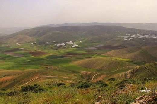
خربة عاطوف قرية فلسطينية صامدة إحدى خرب قرية طمون التابعة لمحافظة طوباس. حيث يسكنها عدد من العائلات التي تعتمد بشكل أساسي على تربية المواشي والزراعة. تتميز المنطقة باتساع أراضيها الصالحة للز
خربة يرزة هي قرية فلسطينية، من قرى محافظة طوباس. وهي من القرى التي احتلتها إسرائيل خلال حرب 1967. تُدار بواسطة مجلس قروي خربة يرزة.
Salhab (Arabic: سلحب, also known as Khirbet Salhab) is a small Palestinian village in the Tubas Governorate in the northeastern West Bank, located four kilometers north of Tubas.
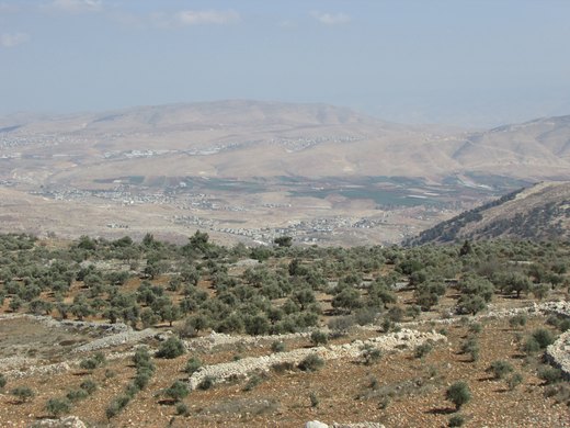
Tammun (Arabic: طمّون, romanized: Ṭammūn) is a Palestinian town in the Tubas Governorate of the State of Palestine, located 13 kilometers northeast of Nablus and five kilometers so
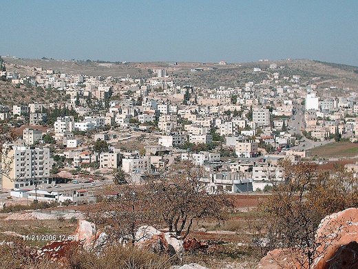
Its small industry centred on pickling, its land on vegetables, onions, olives and stone fruit.
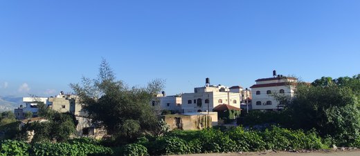
Ein al-Beida (Arabic: عين البيضا) is a Palestinian village of in the Tubas Governorate in the northeastern West Bank. It has a population of about 1,138.
Kardala (Arabic: كردلة) is a Palestinian hamlet located in the Tubas Governorate, 13 kilometers northeast of Tubas adjacent to Bardala in the west and Ein al-Beida in the east.
كشدة المعروفة بخربة كشدة، هي منطقة فلسطينية مأهولة بالسكان، تقع في جنوب محافظة طوباس، وقعت تحت الاحتلال الإسرائيلي بعد حرب 1967، تُدار بواسطة بلدية طوباس.
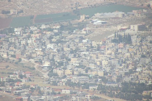
Far'a, Faraa or al-Fari'ah (Arabic: مخيّم الفارعة) is a Palestinian refugee camp in the foothills of the Jordan Valley in the northwestern West Bank.
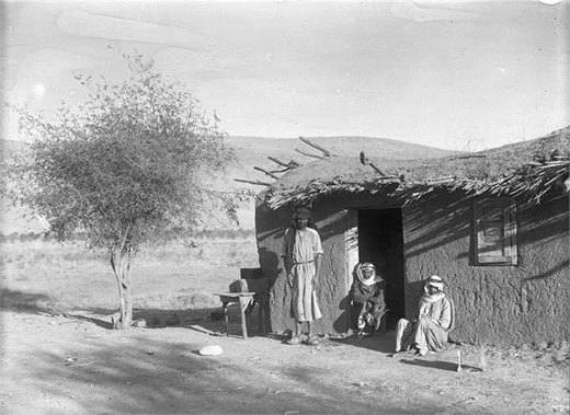
Wadi al-Far'a (Arabic: وادي الفارعة) is a Palestinian village in the Tubas Governorate of the State of Palestine, in the northeastern West Bank, located five kilometers southwest o
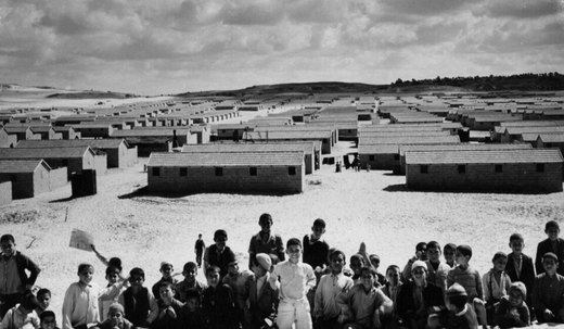
Before 1948 Jabalia’s farmers sold their crops at Suq at-Turkmani east of Gaza, importing oil, sweets and cloth.
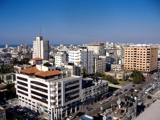
Wool rugs, cane furniture and coloured glass: crafts that lived in Gaza’s markets and its Arts and Crafts Village.
The monk Hilarion built his monastery here in the fourth century; the site became the shrine of al-Khidr, then took its name from a palm grove.
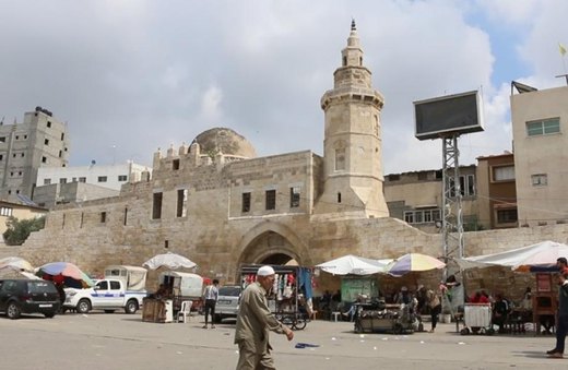
The Mamluks founded the town in the fourteenth century; its khan gave the name, and al-Majdal gave Gaza its dress.
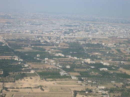
At the Strip’s far south: roses, olives and small workshops — and a crossing that was the only way out.