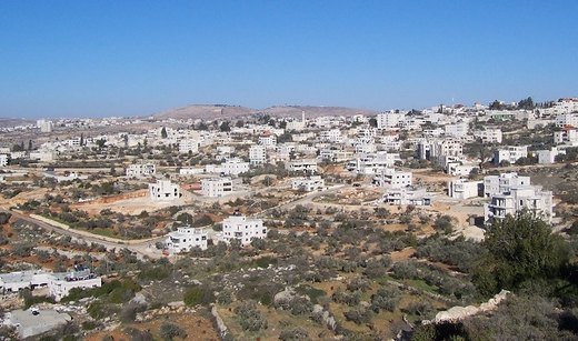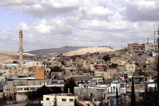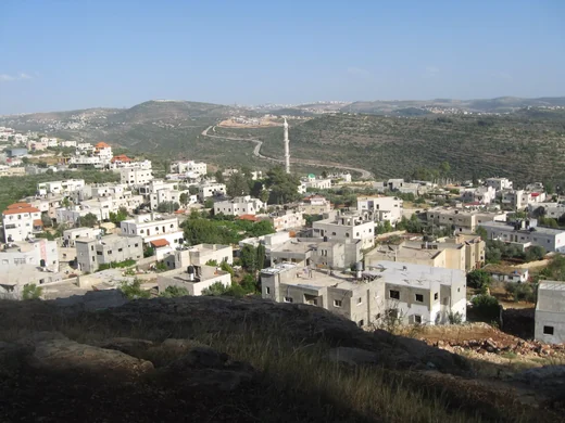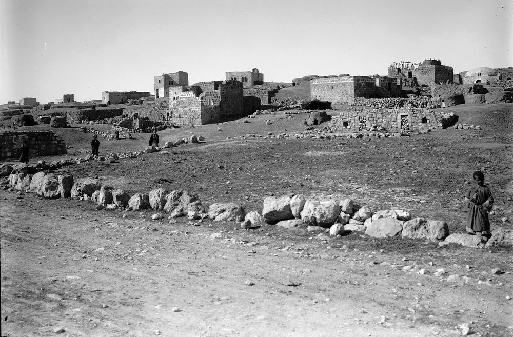
Ad-Dhahiriya stands 655 metres above sea level on the Hebron–Beersheba road; it is the last built-up area in the southern West Bank, bordering the lands of as-Samu‘, Dura and the Beersheba district.
Of its 120,854 dunums, 340 are roads and valleys; the rest carries olives, vines, figs and pomegranates. Herding was the town’s main livelihood alongside farming.
Its families and quarters carry old names — al-Batat, ar-Raba‘, ash-Shawahin, al-Makharza, at-Tall — and its ten mosques include the Great Mosque, the Omari Mosque and the Bilal ibn Rabah Mosque, spread across the historic quarters.
Source: “Ad-Dhahiriya” — Wikipedia, https://en.wikipedia.org/wiki/Ad-Dhahiriya
Cover photo: American Colony (Jerusalem). Photo Dept., photographer — Wikimedia Commons, Public domain.