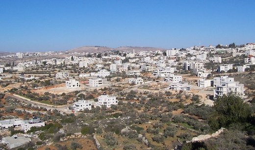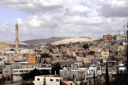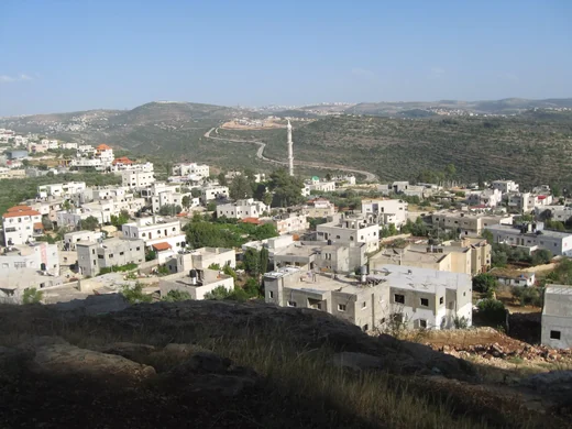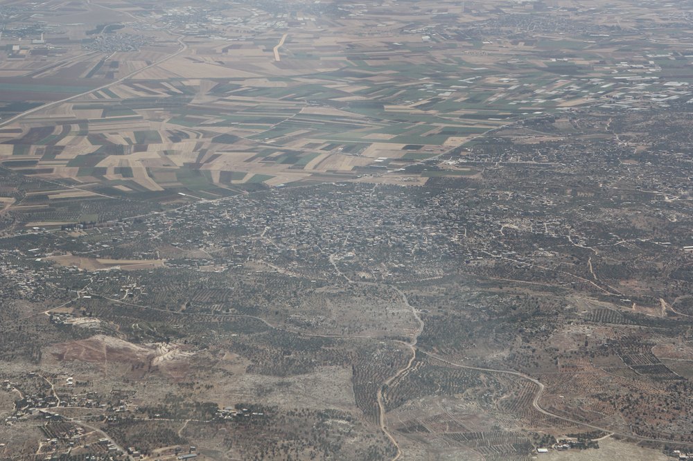
Silat al-Harithiyya is a Palestinian town in Jenin governorate known for its olive groves, with most residents working in trade. It lies 8 km west of Jenin on the road towards Haifa, 150 metres above sea level, sloping north towards the plain where Wadi al-Jamus runs to its west. Its name recalls a stream that once flowed through the town and a ruler called Harith, hence 'Sail Harith', later Silat al-Harithiyya. The town has 8,931 dunums of land bordered by Ta'anak, al-Yamun, Rummana, Anin and Araqa, and its built-up area grew from 80 dunums in 1945 to more than 300 by 1980. The 2017 census recorded 11,449 residents, all Muslim.
Source: Arabic Wikipedia — «السيلة الحارثية» — https://ar.wikipedia.org/wiki/%D8%A7%D9%84%D8%B3%D9%8A%D9%84%D8%A9_%D8%A7%D9%84%D8%AD%D8%A7%D8%B1%D8%AB%D9%8A%D8%A9